Welcome to TrakMaps.
We make maps for the outdoors so you don't get lost.
About TrakMaps
Our priority is to ensure you have the map you need to make your way around confidently and safely.
Since 1999, TrakMaps has provided outdoor enthusiasts with maps for a safe and memorable experience.
Our Maps
Find the map you need for your outdoor adventure!
Maps for GPS
Discover digital GPS topographic, marine, ATV, snowmobile and cycling maps of the outdoors across Canada & USA
View MapsPrinted Maps
Discover printed topographic & marine maps of the outdoors across Canada & USA - printed on our waterproof & tear-proof paper.
View MapsMobile Maps for Avenza
Discover mobile topographic & hunting maps of the outdoors across Canada for iOS & Android smartphones & tablets.
View MapsMobile App for iOS/Android
OHV trails and hunting maps for moose and deer with the TrakMaps app! Perfect for outdoor adventures, available on iOS and Android.
View Mobile AppOur Partners
We work with a wide variety of associations, federations, government ministries and corporations to bring you the best products on the market.


Our Mission
To make maps for the outdoors so you don't get lost.
Much like our customers, we too are outdoor enthusiasts! We understand what you are looking for, and we encourage customer feedback.
As Featured In


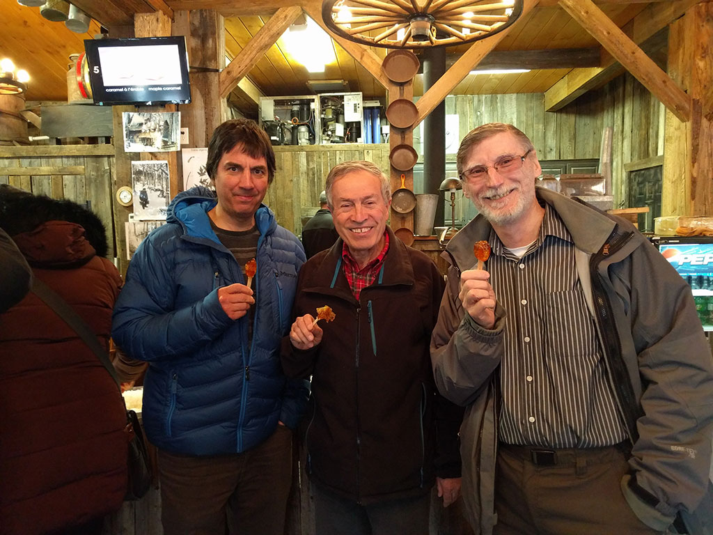
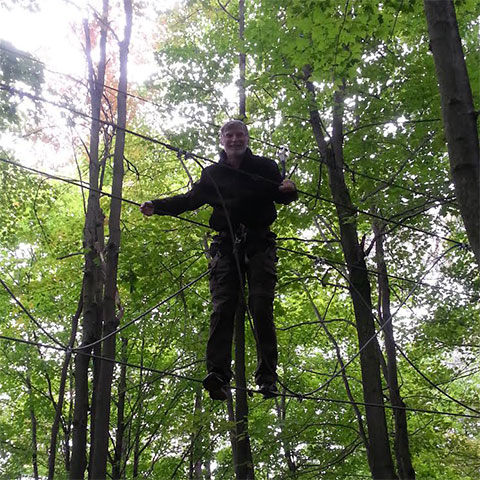
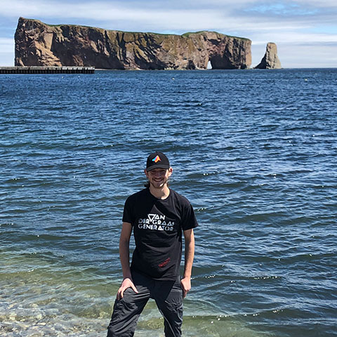
Our Culture
We believe in expressing ourselves freely in a casual environment.
We feel true inspiration is achieved this way. TrakMaps employees are encouraged to attend events, share what they do, and collaborate every step of the way.
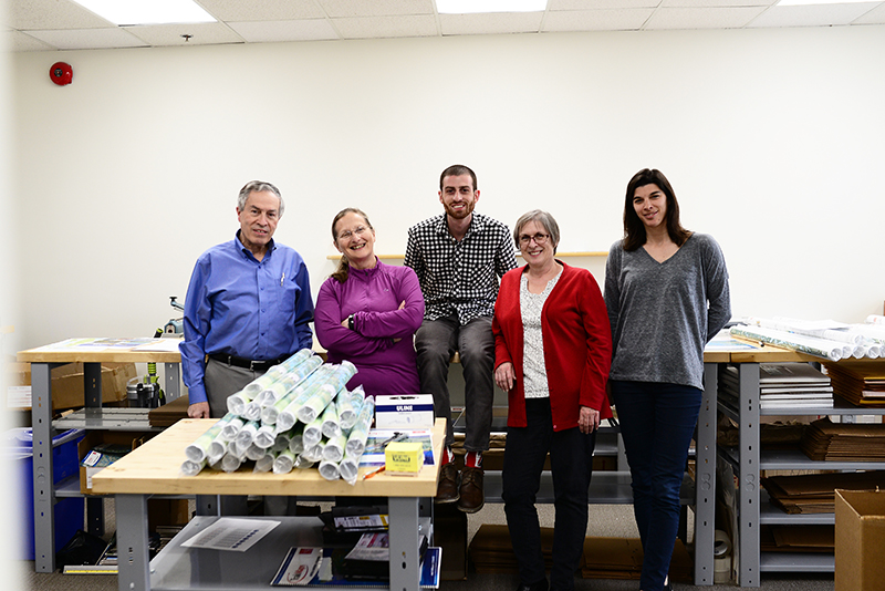
Our Team
Meet the team!
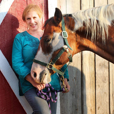
Carolle
Faraj
François
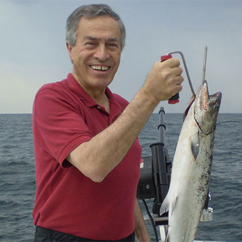
Marc
Marcel

Nik

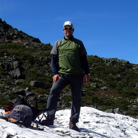
Paul
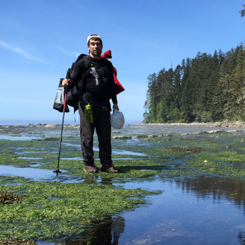
Pierre-Antoine
Want to join our team?
We're looking for motivated candidates that want a long-term relationship with some of the funnest, loving and hardworking people.