
We make maps for the outdoors
so you don't get lost
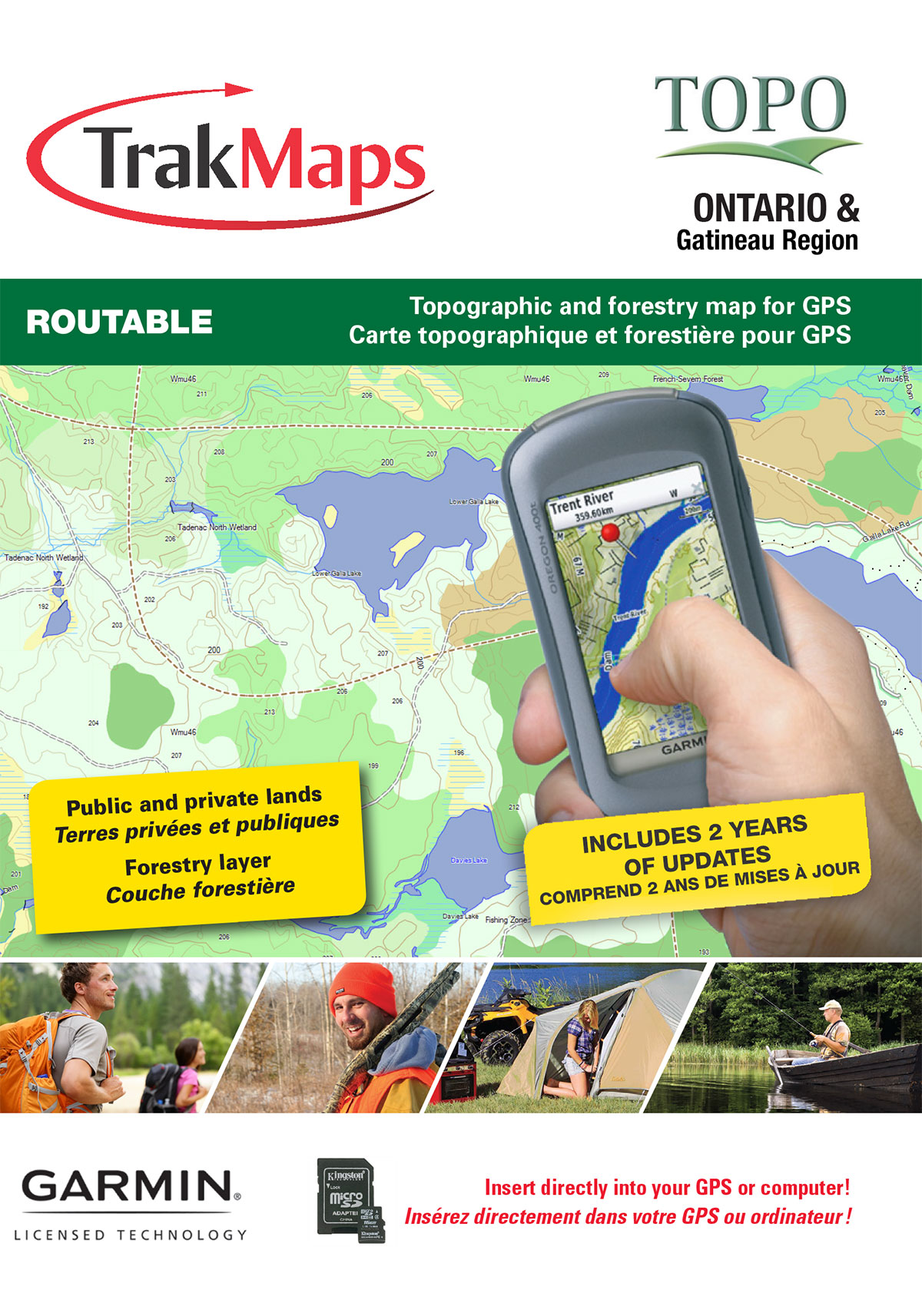
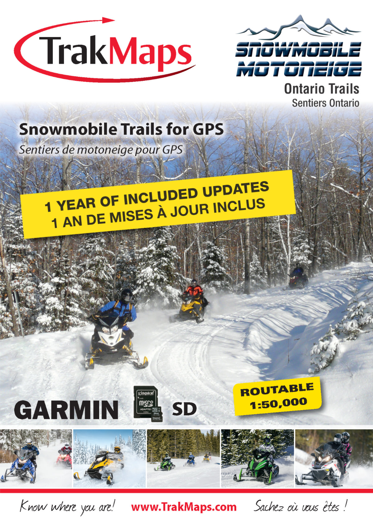
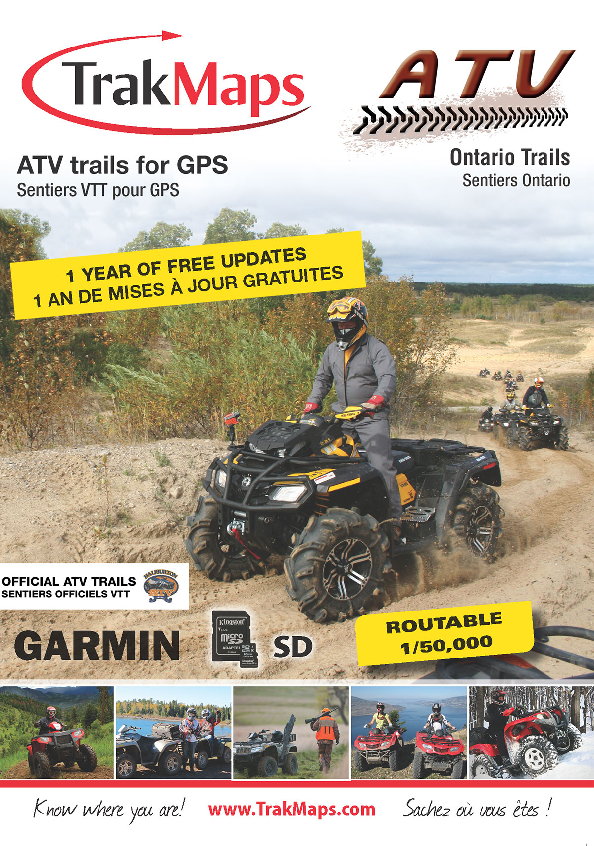
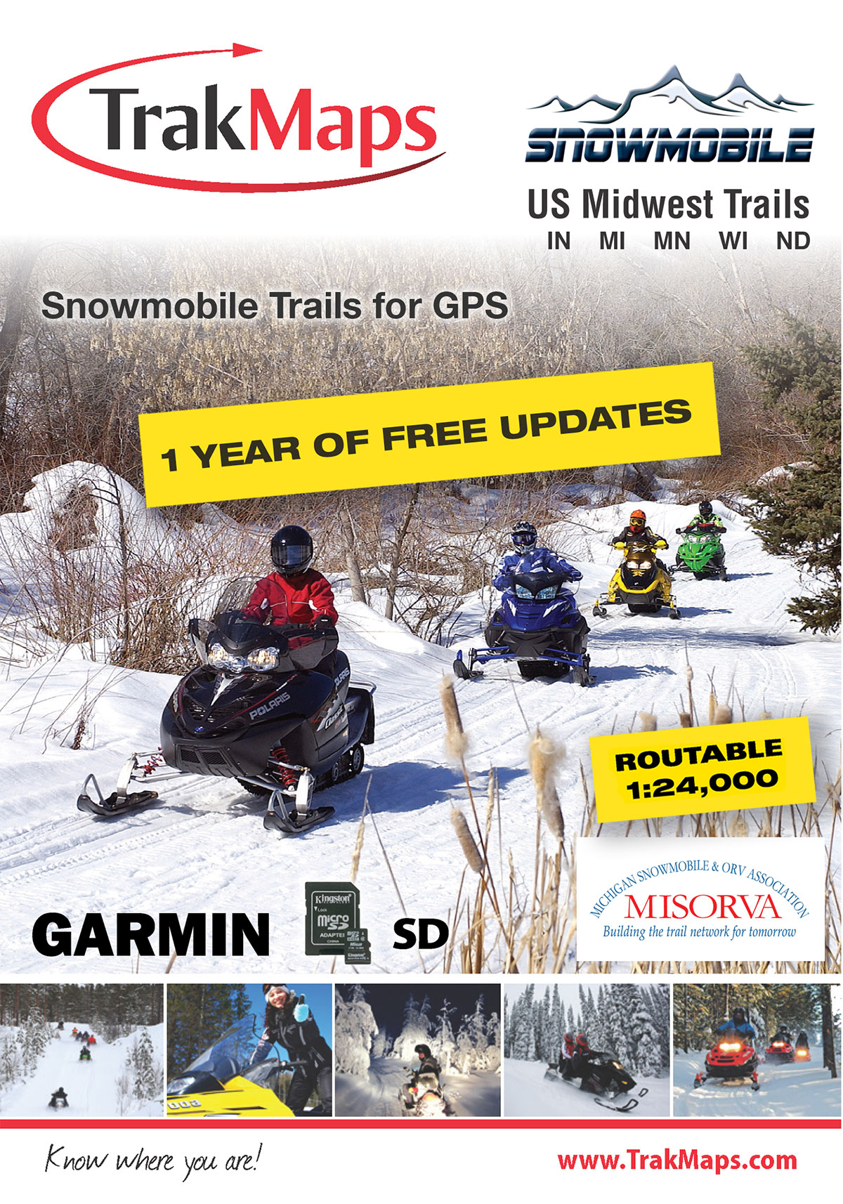


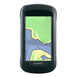
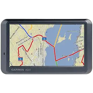
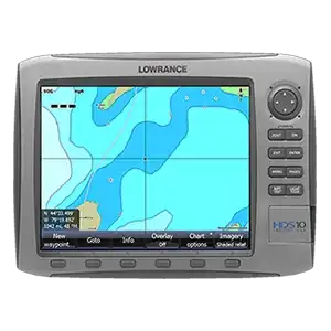
Give your GPS the maps it deserves
Whether it's topographic maps or trail maps or marine charts, fill your GPS with the best on the market.
Discover more with TrakMaps.
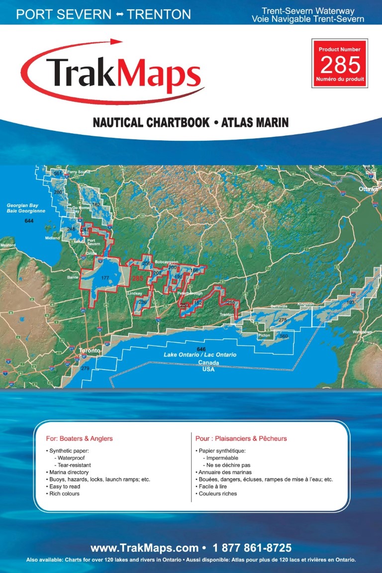
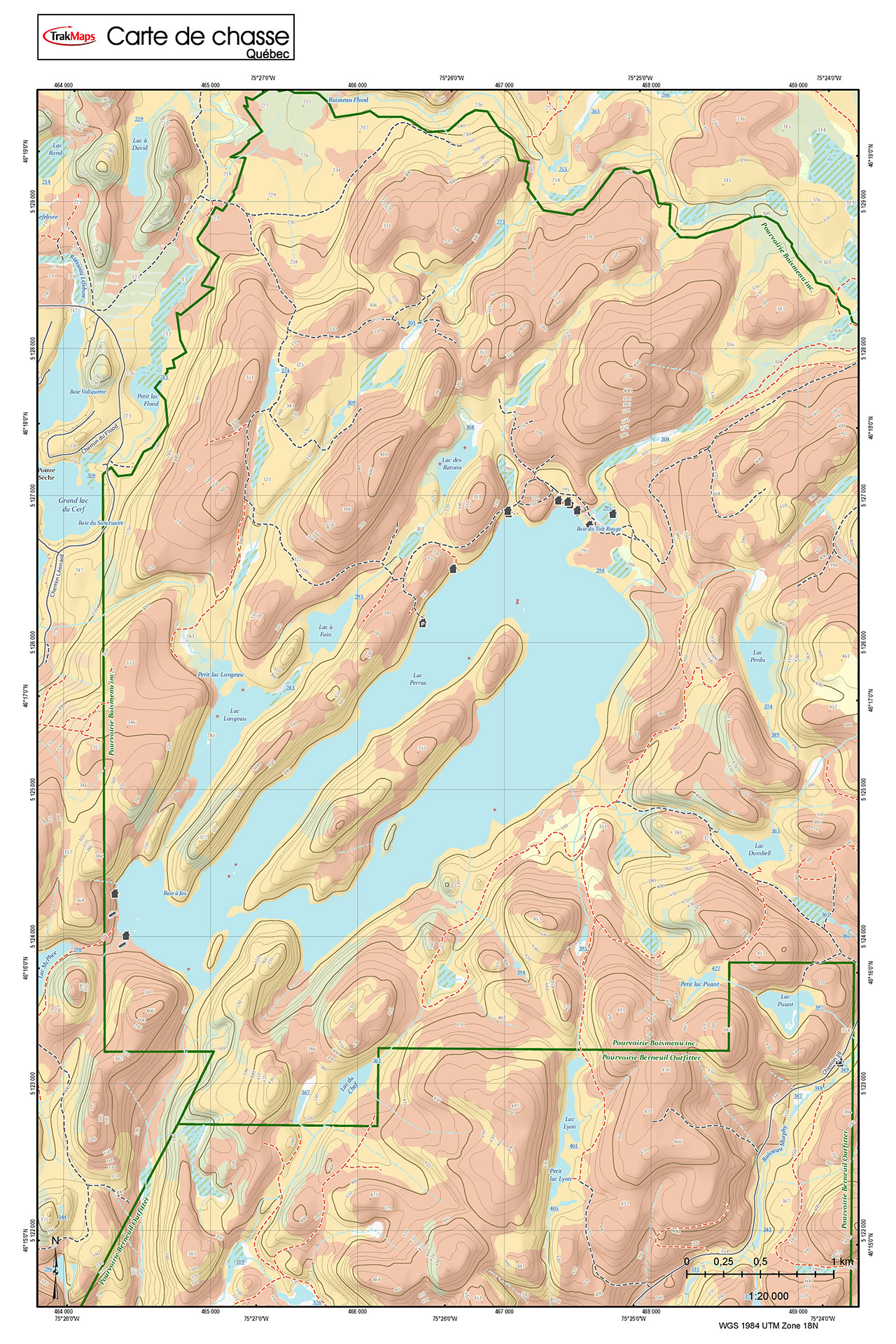
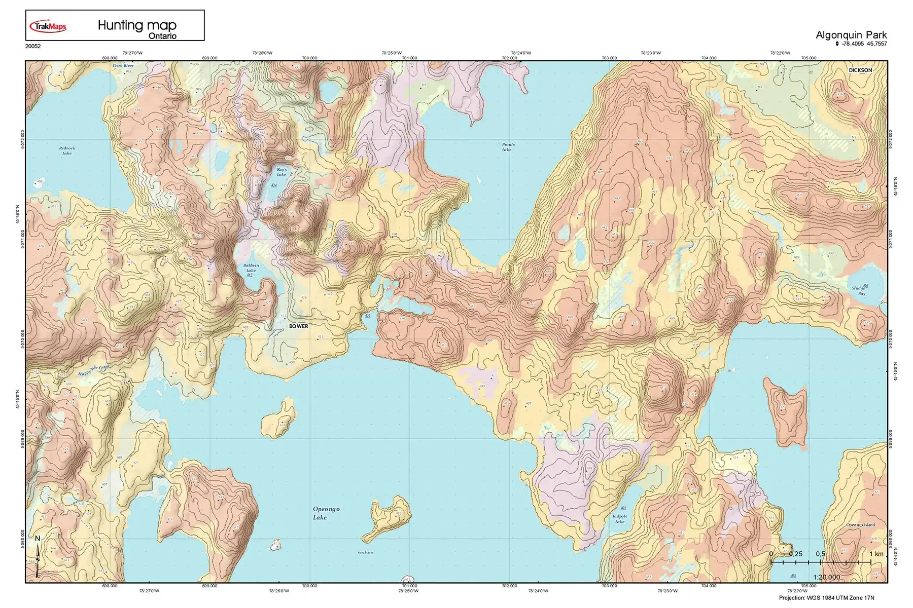
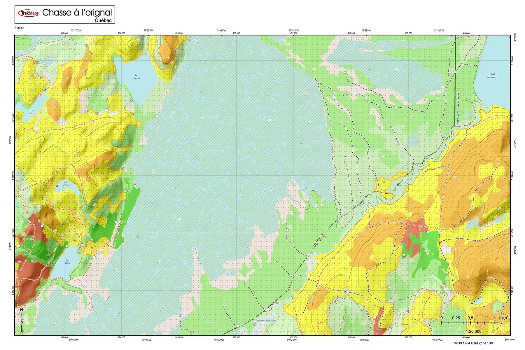
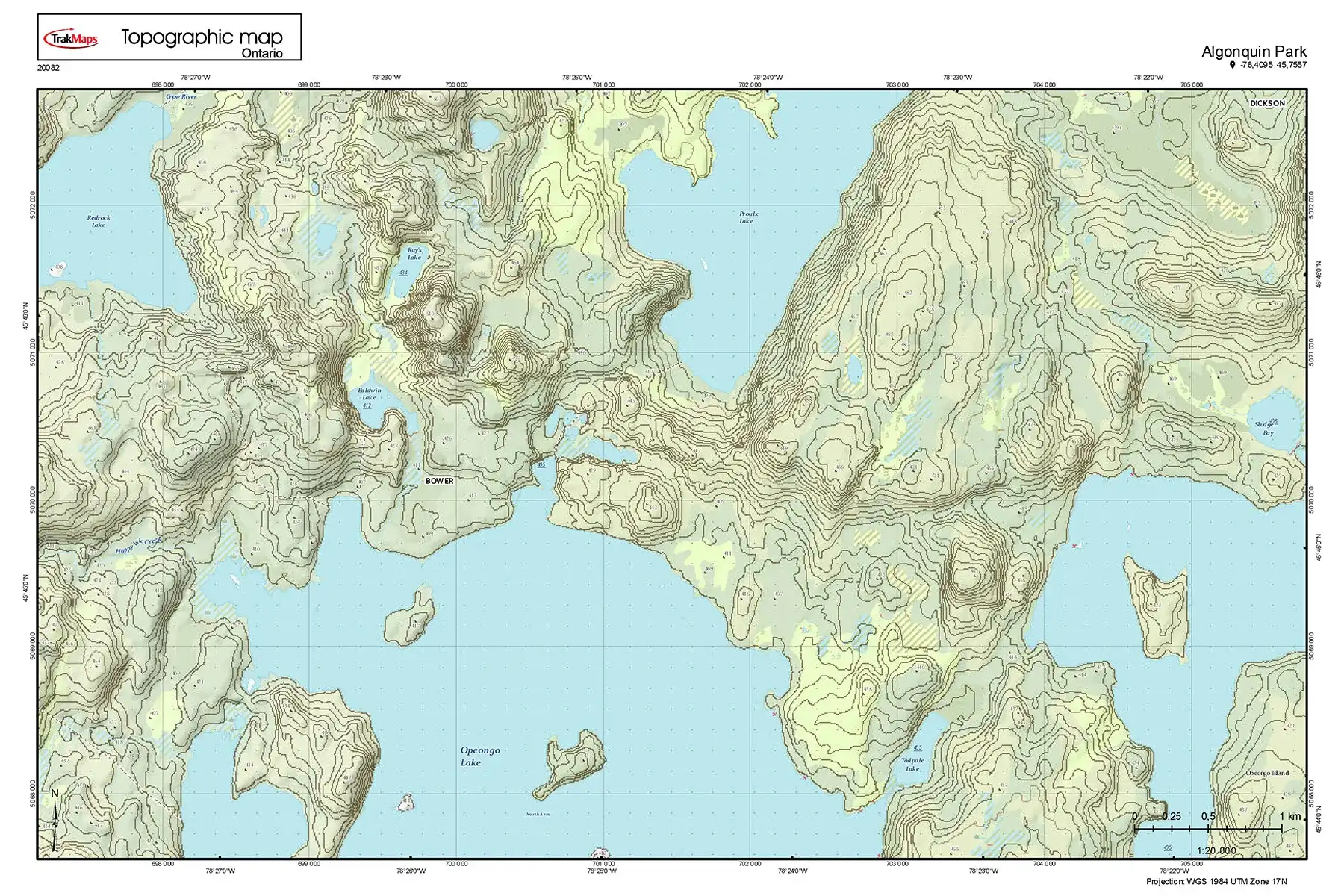
Printed Maps for Your Outdoor Activities
Our team of passionate experts works tirelessly to offer you the most detailed, up-to-date and user-friendly maps and charts on the market.
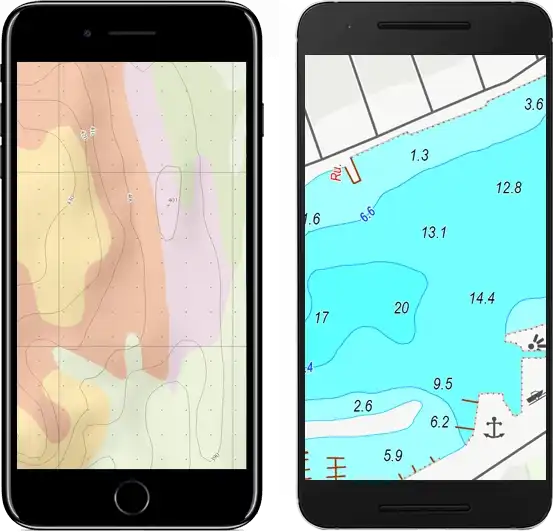
Mobile Maps for Avenza
Create a custom map of your area! Choose the area you want and we'll deliver it straight to your smartphone.
Mobile Maps for AvenzaApp for iOS/Android
Explore the outdoors with confidence: Access OHV trails & hunting maps for moose and deer on Your iOS or Android Device!
View Mobile AppTestimonials
As Featured In


Come see us at a show
Come get the latest outdoor products at one of the shows we'll be participating at. Benefit from sweet deals and meet our team!
Our Partners
We work with a wide variety of associations, federations, government ministries and corporations to bring you the best products on the market.


Stay Informed
Get FREE tips, updates and special discounts delivered directly to your inbox.