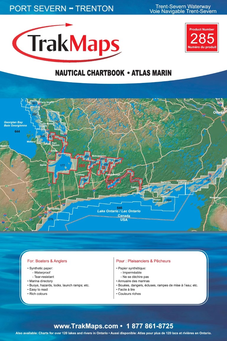
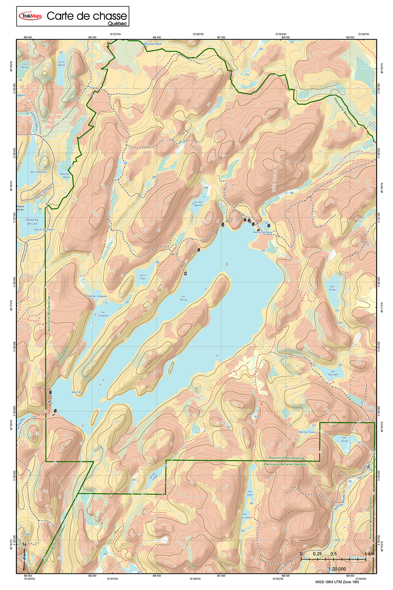
Know where you are!
Maps for GPS
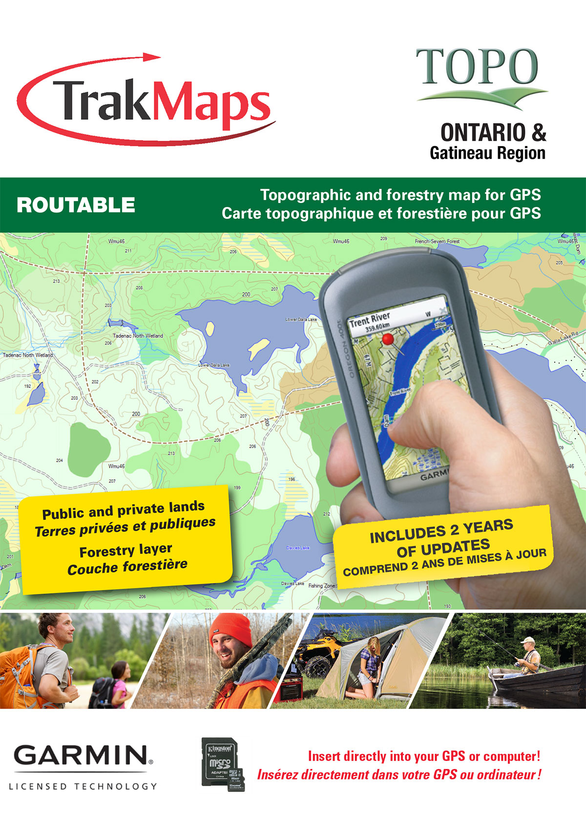
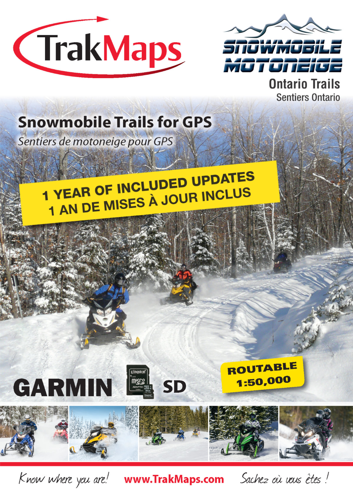
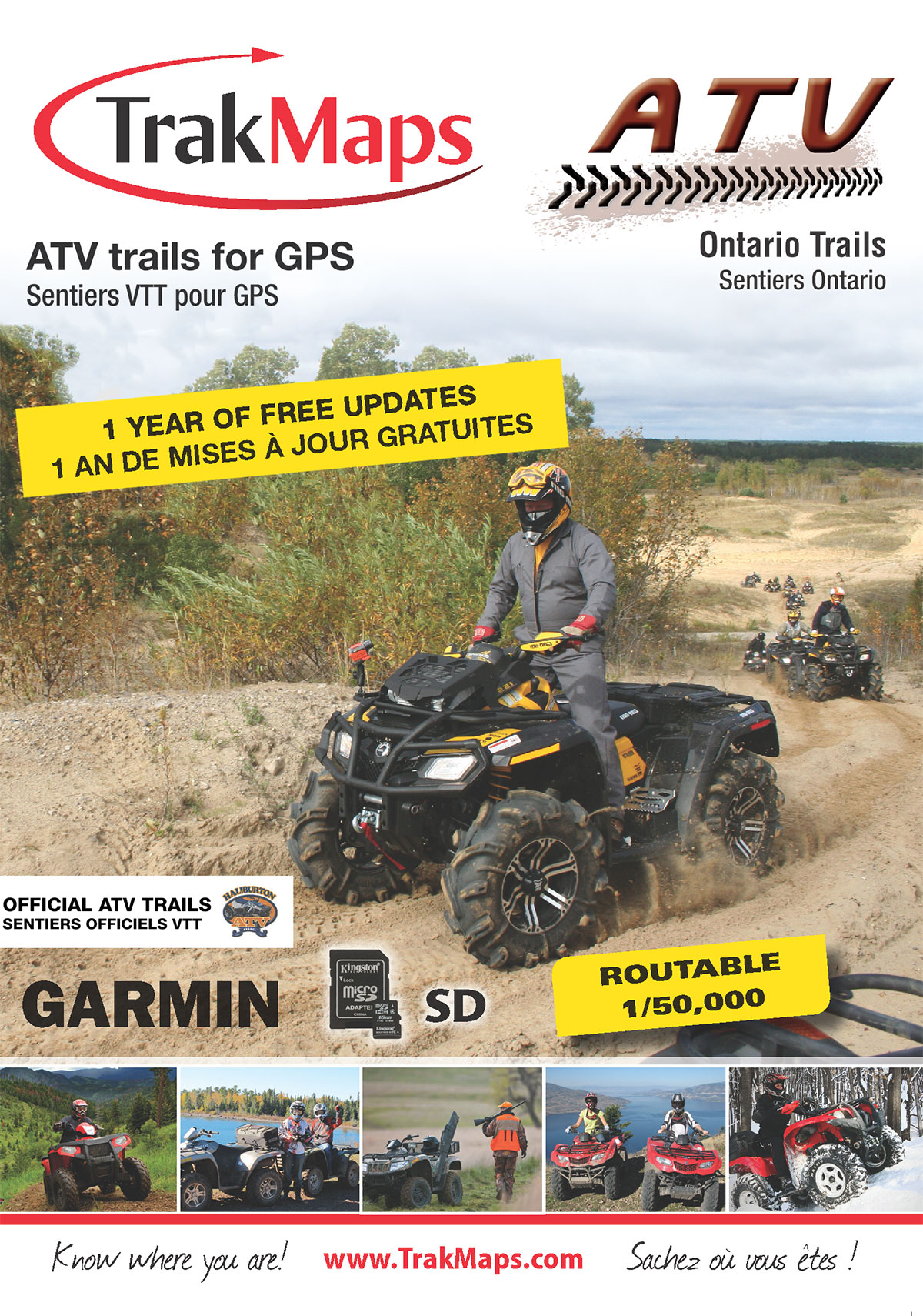
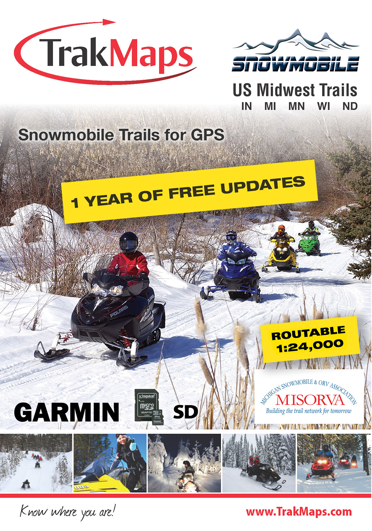
Discover digital GPS topographic, marine, ATV, snowmobile and cycling maps of the outdoors across Canada & USA


Get to where you want using official routable ATV/OHV/ORV/Side by Side (SxS) trails on your GPS unit
View Maps
Updates to your map for Garmin
Use TrakUpdate to get the latest updates to your map.
Just sit back and relax as we update it!
Our Partners
We work with a wide variety of associations, federations, government ministries and corporations to bring you the best products on the market.