Know where you are!
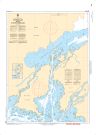
East Channel to/au Little Playgreen Lake | Carte SHC 6264
May take up to 3 business days to ship
ORDER IT TODAY
25,00 $
Specifications
| Format | Carte du SHC |
| Présentation | Plat |
| Légendes | |
| Finition | Régulier |
| Région | Central |
| Dimensions | 48" x 34" |
| Pages | 1 |
| Échelle | 1/15 000 |
| Veuillez noter que les dimensions de cartes sont parfois arrondies. Pour obtenir les dimensions précises, veuillez nous joindre. | |
Features
- Bathymétrie
- Aides à la navigation
- Entraves à la navigation
Description
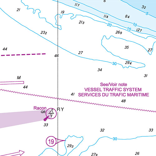
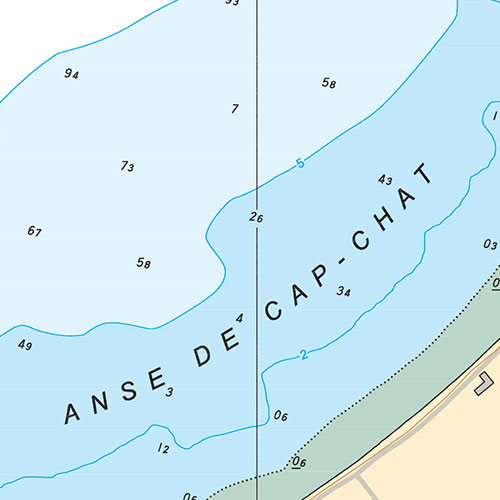
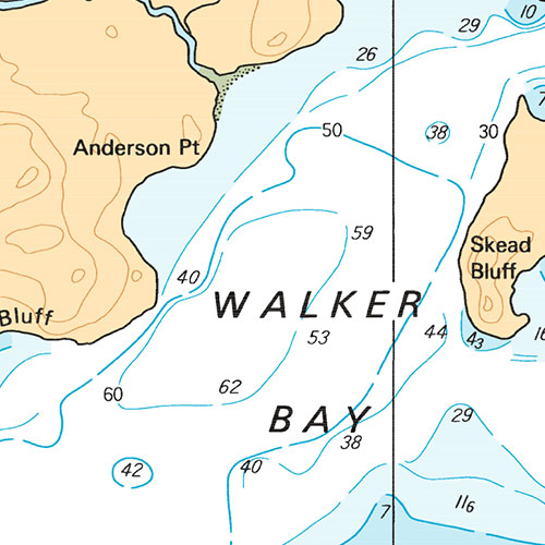
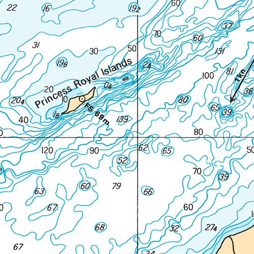
East Channel to/au Little Playgreen Lake | Carte SHC 6264. Impression sur papier régulier. Idéale pour plaisance et pêche.
Recent Official Chart
This chart includes the latest notices to mariners and is considered an official chart under the terms of the Charts and Nautical Publications Regulations.
Coverage
Not sure which maps/charts to order? Plan a Trip and we'll let you know which ones you need.
The red rectangle in the map above is only to indicate the area covered. It does not represent the actual content of the product.
Find Other CHS Charts
Please choose the type of map(s) to display in the top-right corner of the map.
I am going to
| Chart | Region | Price |
|---|
Autres produits imprimés
Testimonials


Our Partners
We work with a wide variety of associations, federations, government ministries and corporations to bring you the best products on the market.


