What's included
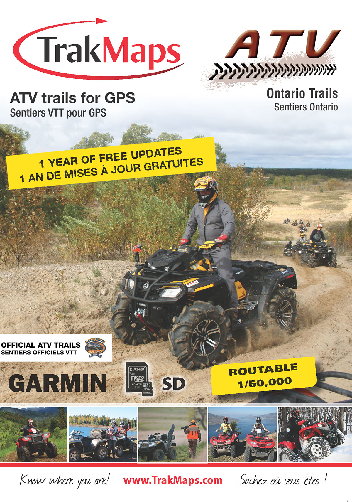
- Official HATVA trails
- New Added non-routable forestry trails
- New Added trails in Norfolk Area
- New Added trails in Eastern Ontario
- New Added trails in Ottawa Valley
- New Added trails in Muskoka
- New Added trails in Algonquin Provincial Park
- Routable map with turn by turn directions to create trail itineraries
- 3D display and contour lines
- Map background at 1:50,000
- 3,000 km of official ATV trails
- Road network
- Cellular towers
- Wildlife Management Units (WMU)
- National and provincial parks
- Buildings, pylons, power lines, bridges, dams, railroads other points of reference
- Lakes, rivers, streams, wetlands, waterfalls
- 12,000+ POIs including, lodging, restaurants, gas stations, ATMs
Description
Completely reviewed and continuously updated, serious ATV enthusiasts use ATV Ontario to find their way around safely using official ATV trails.
Get to where you want using official routable ATV trails on your GPS unit.
- Last update
- 2026-08-20 · View changelog
- Scale
- 1:50,000
- Size
- 180 MB+
- Requirements
- Compatible Garmin GPS unit · Garmin BaseCamp for Windows 10 or macOS (or more recent) to view on a computer
- Sources
- Haliburton ATV Association (HATVA), Natural Resources Canada, Ministry of Natural Resources and Forestry, TrakMaps
Coverage
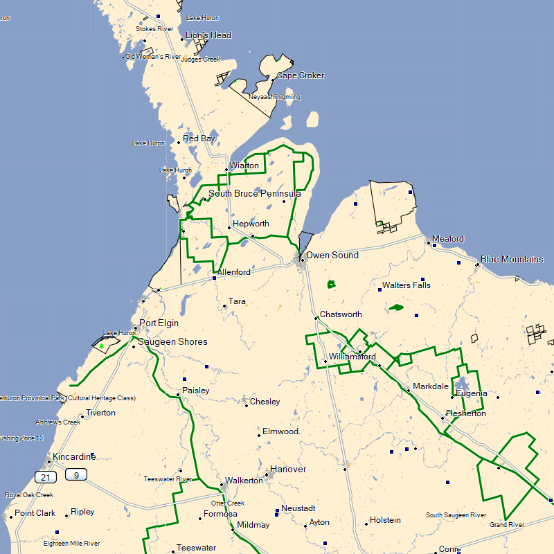
The coverage map above is not a screenshot of the product. Trails do change over time and may vary from what is shown above. To obtain screenshots of a specific area, you can request screenshots of your area. Other ATV trails are unofficial trails.
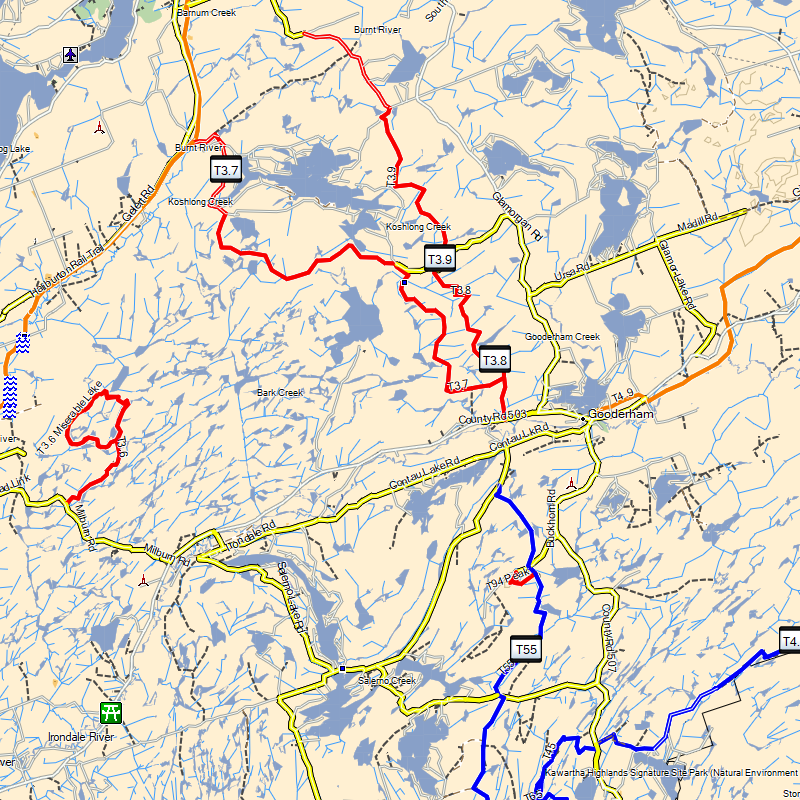
Screenshots
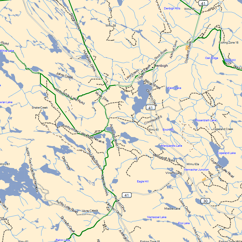
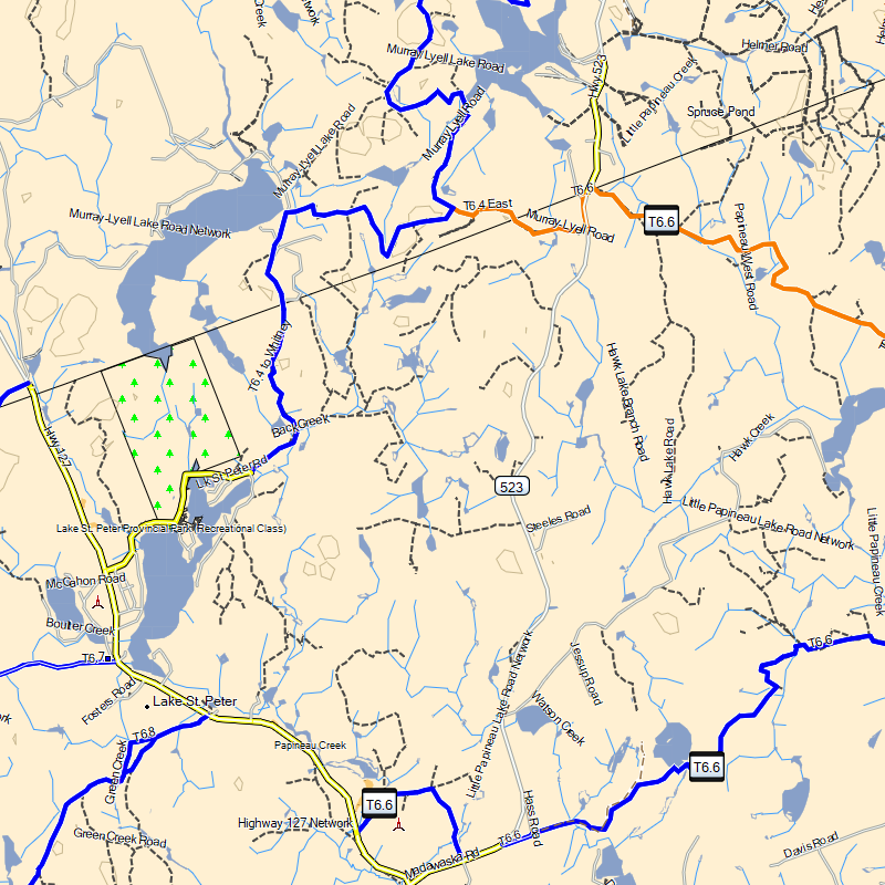
Why TrakMaps
Real-time routing on official trails so you don't get lost.
Get the latest trails with TrakUpdate. Renew at 50% off.
First-class support by live chat and email, in English and French.
Plan trips in Garmin BaseCamp for Windows or Mac.
Everything is on the GPS unit — no data plan needed.
Get a discount for switching to TrakMaps. Certain restrictions apply. Contact us to find out more
Legend
Map symbols and trail types
 Clothing Retail
 Golf Course
 Beach
Beach
 Woods
Woods
 Military
 Gas Station
 City 200K
 Ski Center
 Utility
 Picnic Area
 Bank
Bank
 Lake
Lake
 Trail
Trail
 Cliff
Cliff
 Hotel
Hotel
 Waterfall
 Large City
 Ice Skating
 Bridge
 Grocery Store
 Rapids
 Parking
 Campground
 School
 Shopping Center
 Restaurant
 Auto Club
 Stream
 Tunnel
 Hall
Hall
 Border Crossing
 Casino
 Movie Theater
 Services Business
 Summit
 Garden
 Information
 Scenic Area
 Crossing
 Tower
Tower
 Locale
 Convenience Store
 General Store
 Community Center
 Bridge
 Minor Contour
 Crown - Public Trail
 Atv Trail
 Unmaintained Trail
 Rail Line Trail
 Off Road Trail
 Int Contour
 Stream
 Crown Land Border
 Open - Maintained Trail
 Highway
Atv Trail
Highway
Atv Trail
 Marine Hazard
 Marine Boundary
 Trail
Trail
 Wmu
Wmu
 Road
Road
Road
Road
 Powerline
 Bridge
 Lake 100Mi
 Golf Course
 Land Urban
 Urban Park
 Patent Lands
 Sports Complex
 Lake 250Mi
 Woods
Woods
 Reservation
 Brush
Brush
 Large City
 State Park
 Lake 10Mi
 Toponym
 Lake
Lake
As featured in
Testimonials
Updates to your map for Garmin
Use TrakUpdate to get the latest updates to your map.
Just sit back and relax as we update it!
Our Partners
We work with a wide variety of associations, federations, government ministries and corporations to bring you the best products on the market.