Know where you are!
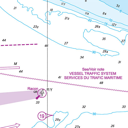
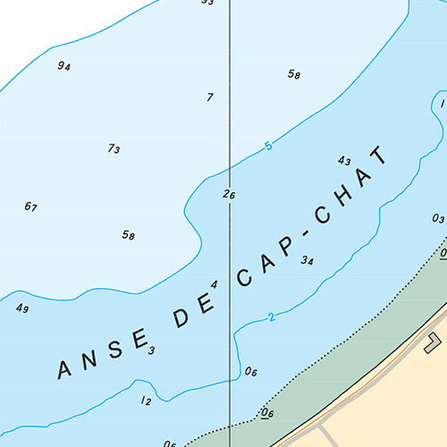
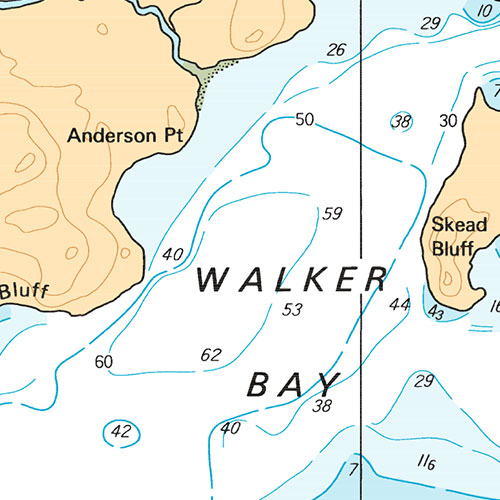
Harbours and Anchorages Hudson Bay and James Bay/Ports et Mouillages Baie d'Hudson et Baie James | CHS Chart 5476
May take up to 3 business days to ship
Looking to license this map dats for commercial or professional use?
ORDER IT TODAY
$25.00
Specifications
| Format | CHS Chart |
| Presentation | Flat |
| Legend | |
| Finish | Regular |
| Region | Central |
| Dimensions | 48" x 34" |
| Pages | 1 |
| Scale | 1:75,000 |
| Please note that map dimensions are sometimes rounded rounded. To obtain precise dimensions, please contact us. | |
Features
- Bathymetry
- Navigation aids
- Navigation hazards
Description
Harbours and Anchorages Hudson Bay and James Bay/Ports et Mouillages Baie d'Hudson et Baie James | CHS Chart 5476. Printed on regular paper. Perfect for boating and fishing.
Recent Official Chart
This chart includes the latest notices to mariners and is considered an official chart under the terms of the Charts and Nautical Publications Regulations.
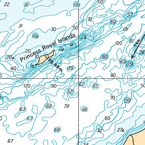
Coverage
Not sure which maps/charts to order? Plan a Trip and we'll let you know which ones you need.
The red rectangle in the map above is only to indicate the area covered. It does not represent the actual content of the product.
Find Other CHS Charts
Please choose the type of map(s) to display in the top-right corner of the map.
I am going to
| Chart | Region | Price |
|---|
Testimonials




Our Partners
We work with a wide variety of associations, federations, government ministries and corporations to bring you the best products on the market.