Know where you are!
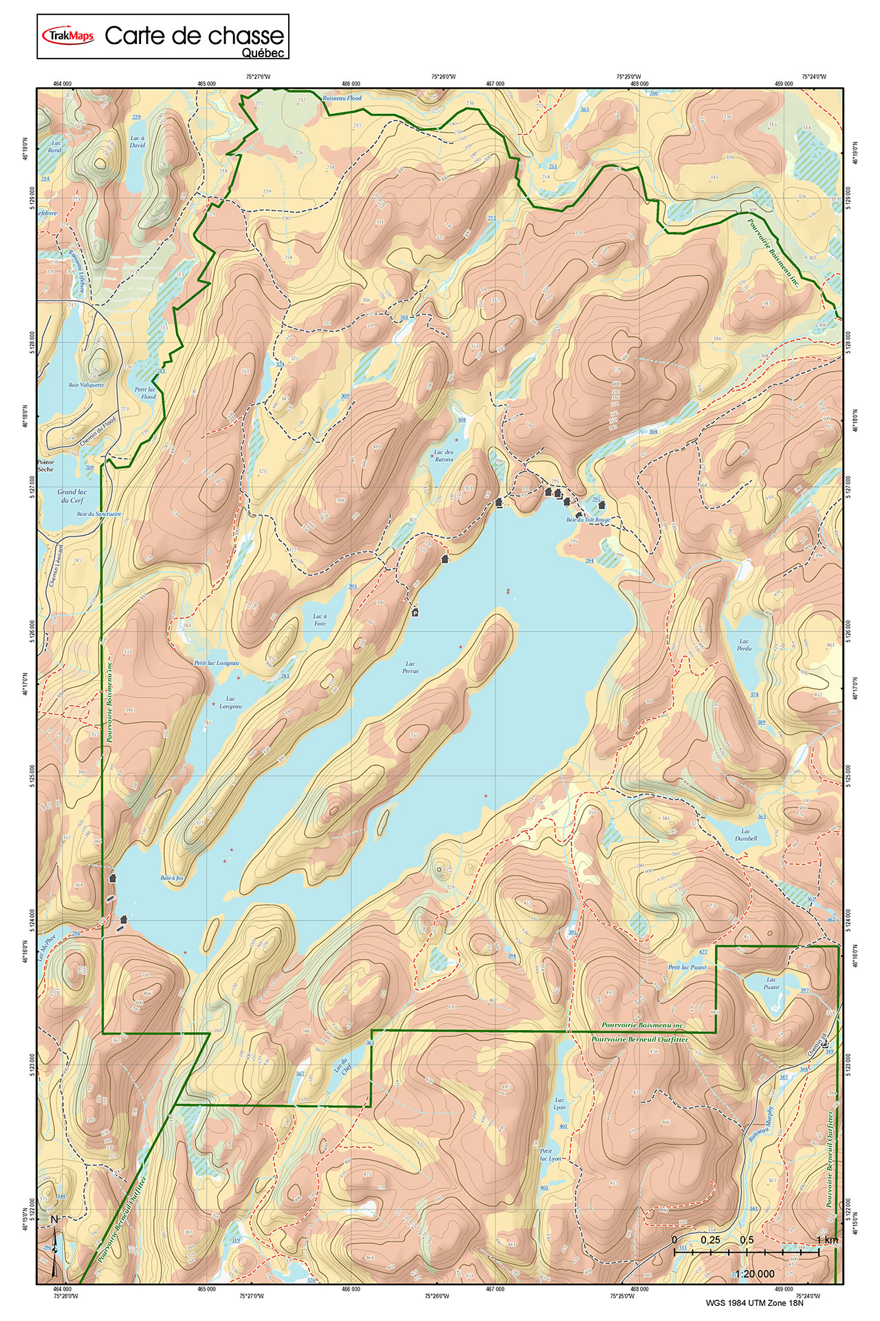
Malartic Lake | Stretched Canvas
Ships in 1-3 business days with delivery 1-3 business days later for many locations
Printed on STRETCHED CANVAS ready to mount on your wall
ORDER IT TODAY
Specifications
| Product # | 4 |
| Format | Individual Chart |
| Presentation | Flat |
| Legend | |
| Finish | Stretched Canvas |
| Region | Abitibi-Témiscamingue |
| Dimensions | 12" x 18" |
| Pages | 1 |
| Scale | 1:45,000 |
| UPC | 838510000049 |
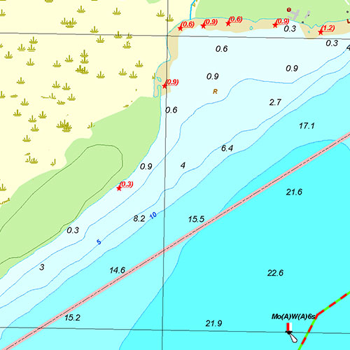
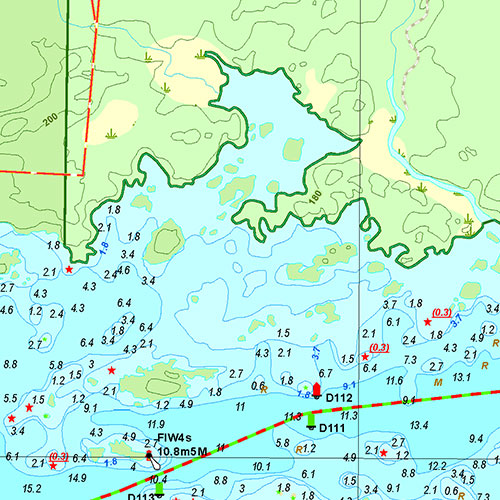
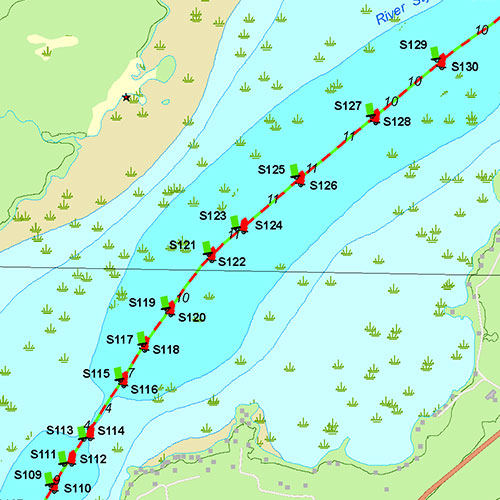
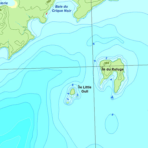
Features
- Bathymetry
- Navigation aids
- Navigation hazards
- Main roads
- Marshes
- Launch ramps
Description
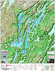
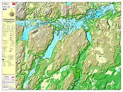
Individual Chart of Malartic Lake | Stretched Canvas in Abitibi-Témiscamingue (Quebec). Printed on stretched canvas at a scale of 1:45,000. Perfect for fishing, boating and ice fishing.

Coverage
Not sure which maps/charts to order? Plan a Trip and we'll let you know which ones you need.
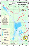
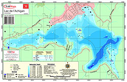
The red rectangle in the map above is only to indicate the area covered. It does not represent the actual content of the product.
Find Other Maps & Charts
I am going to
| # | Product | Format | Region | Price |
|---|
As Featured In
Testimonials


Our Partners
We work with a wide variety of associations, federations, government ministries and corporations to bring you the best products on the market.


