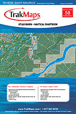
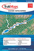
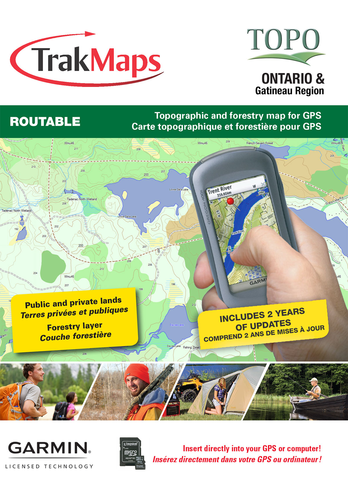
Know where you are!
Rivière Richelieu
Ships TODAY or next business day with delivery 1-3 business days later for many locations
Printed on WATERPROOF & TEAR-RESISTANT synthetic paper
ORDER IT TODAY
Specifications
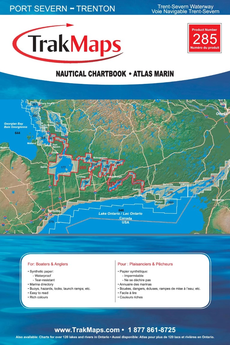
| Produit # | 66 |
| Format | Atlas marin |
| Présentation | Reliure spirale |
| Légendes | |
| Finition | Synthétique |
| Région | Voie navigable |
| Dimensions | 12" x 18" |
| Pages | 22 |
| Échelle | 1/15 000 |
| UPC | 838510000667 |
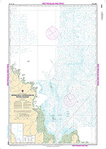
Features
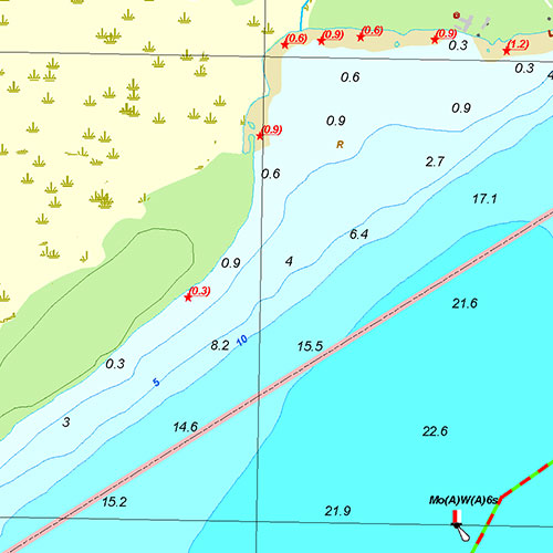
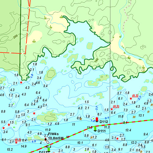
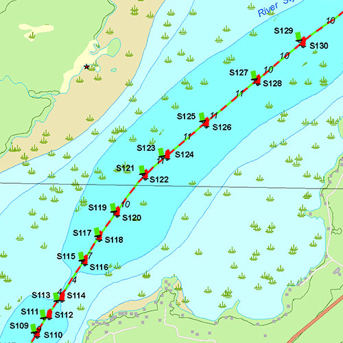
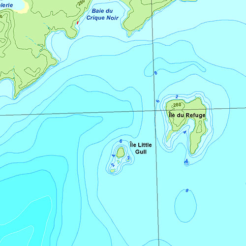
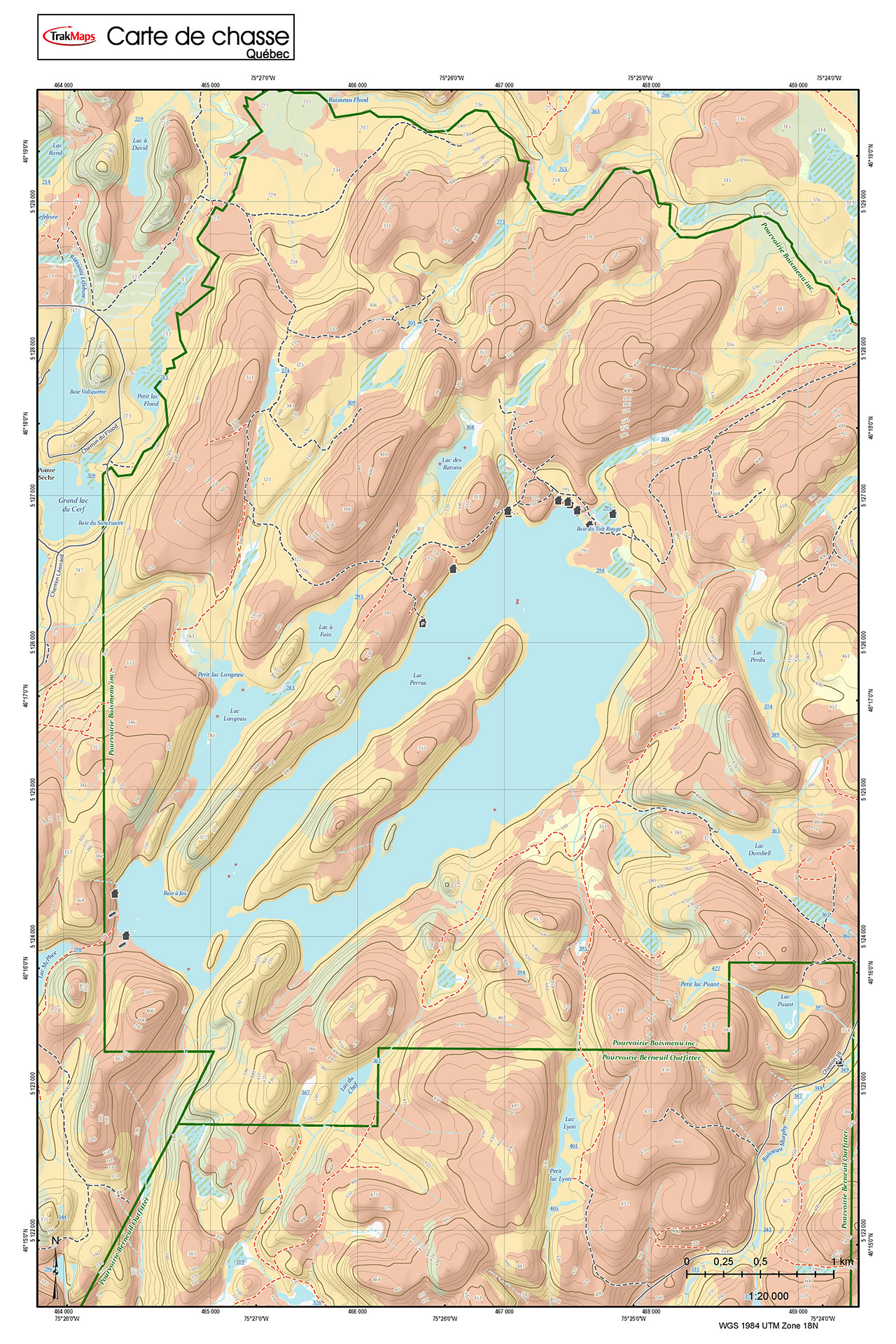
- Bathymétrie
- Aides à la navigation
- Entraves à la navigation
- Voies, Routes
- Routes principales
- Canaux
- Écluses
- Marais
- Lieux de pêche
- Services
- Barrages
- Marinas
- Rampes de mise à l'eau
- Annuaire des marinas
- Terrains de camping
- Aires de pique-nique
- Imprimé sur papier synthétique imperméable et indéchirable
Description
Atlas marin de Rivière Richelieu : Voie navigable (Québec). Impression sur papier imperméable et indéchirable à une échelle de 1/15 000. Idéale pour pêche, plaisance et pêche blanche.
Coverage
Not sure which maps/charts to order? Plan a Trip and we'll let you know which ones you need.
The red rectangle in the map above is only to indicate the area covered. It does not represent the actual content of the product.
Find Other Nautical Chartbooks
I am going to
| # | Product | Format | Region | Price |
|---|
As Featured In
Testimonials


Our Partners
We work with a wide variety of associations, federations, government ministries and corporations to bring you the best products on the market.


