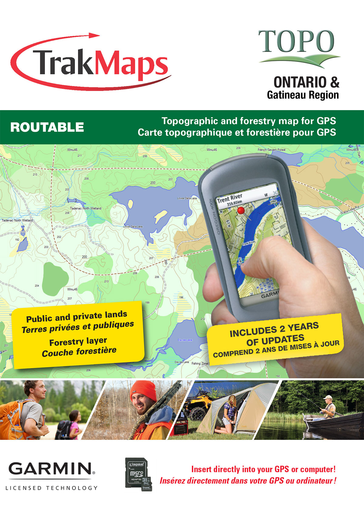
Know where you are!
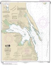
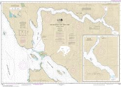
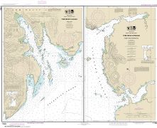
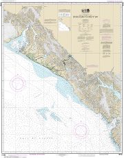
Stephens Passage to Cross Sound, including Lynn Canal | Carte NOAA 17300
Ships TODAY or next business day with delivery 1-3 business days later for many locations
Printed on WATERPROOF & TEAR-RESISTANT synthetic paper
ORDER IT TODAY
34,50 $
Chart No Longer Supported
This chart is no longer updated and no longer contains the latest notices to mariners - it does not meet the requirements for the mandatory carriage of nautical charts established by the U.S. Coast Guard.
Specifications
| Format | Carte du NOAA |
| Présentation | Roulée |
| Légendes | |
| Finition | Synthétique |
| Dimensions | 44" x 33" |
| Pages | 1 |
| Échelle | 1/209 978 |
| Veuillez noter que les dimensions de cartes sont parfois arrondies. Pour obtenir les dimensions précises, veuillez nous joindre. | |
Features
- Bathymétrie
- Aides à la navigation
- Entraves à la navigation
- Imprimé sur papier imperméable et indéchirable
Description
Stephens Passage to Cross Sound, including Lynn Canal | Carte NOAA 17300. Impression sur papier imperméable et indéchirable. Idéale pour plaisance et pêche.
Coverage
Not sure which maps/charts to order? Plan a Trip and we'll let you know which ones you need.
The red rectangle in the map above is only to indicate the area covered. It does not represent the actual content of the product.
Find Other NOAA Charts
Please choose the type of map(s) to display in the top-right corner of the map.
I am going to
| Chart | Price |
|---|
Testimonials


Our Partners
We work with a wide variety of associations, federations, government ministries and corporations to bring you the best products on the market.


