
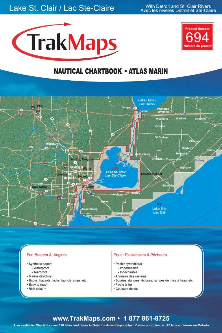
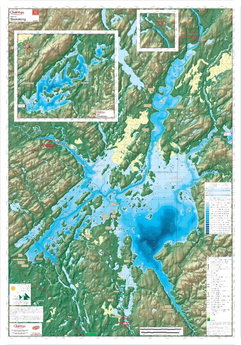
Aperçu en basse résolution, cliquez pour agrandir. Le produit imprimé est net et entièrement détaillé.
Lac Sainte-Claire (incluant rivières Détroit et Sainte-Claire)
CAD pour les clients canadiens, USD pour tous les autres pays.
Achats en grande quantité? Contactez-nous pour une soumission
Livraison gratuite au Canada et aux États-Unis sur les commandes de 59 $+.
- Expédiée le prochain jour ouvrable. Livraison en 1 à 3 jours ouvrables vers plusieurs destinations.
- Imprimée sur papier synthétique imperméable et résistant aux déchirures
- Imprimée sur demande (non retournable)
- Vous souhaitez obtenir une licence pour ces données à des fins commerciales?
Spécifications
| Produit # | 694 |
| Format | Atlas marin |
| Présentation | Reliure spirale |
| Légende | |
| Finition | Synthétique |
| Région | Ontario |
| Dimensions | 12" x 18" |
| Pages | 60 |
| Échelle | 1/15 000 |
| UPC | 838510006942 |
Caractéristiques
- Bathymétrie
- Aides à la navigation
- Entraves à la navigation
- Services
- Marinas
- Imprimé sur papier synthétique imperméable et indéchirable
- Papier imperméable et indéchirable
Description
Atlas marin de Lac Sainte-Claire (incluant rivières Détroit et Sainte-Claire) : Ontario. Imprimée sur papier imperméable à une échelle de 1/15 000. Conçue pour la pêche, la plaisance et la pêche blanche.
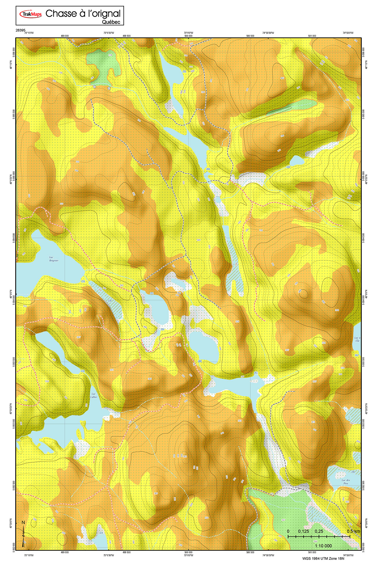
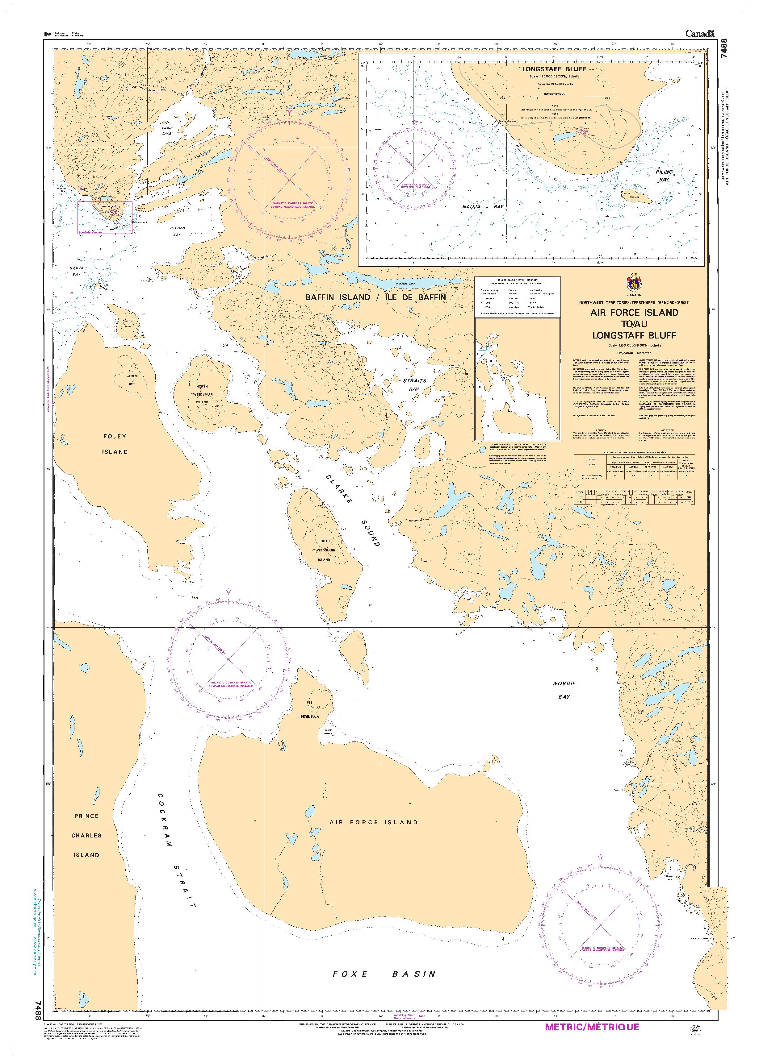
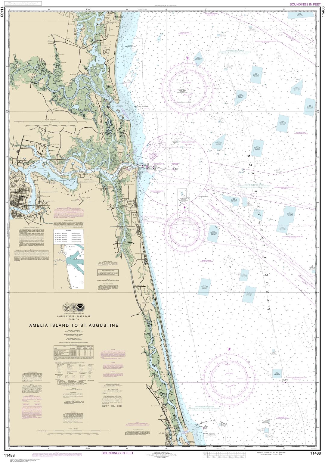
À quoi ressemble la carte
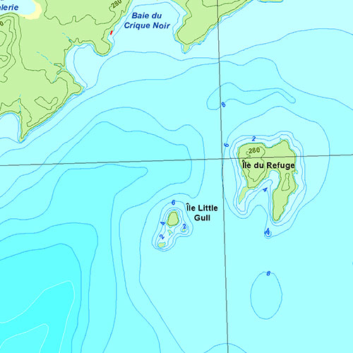
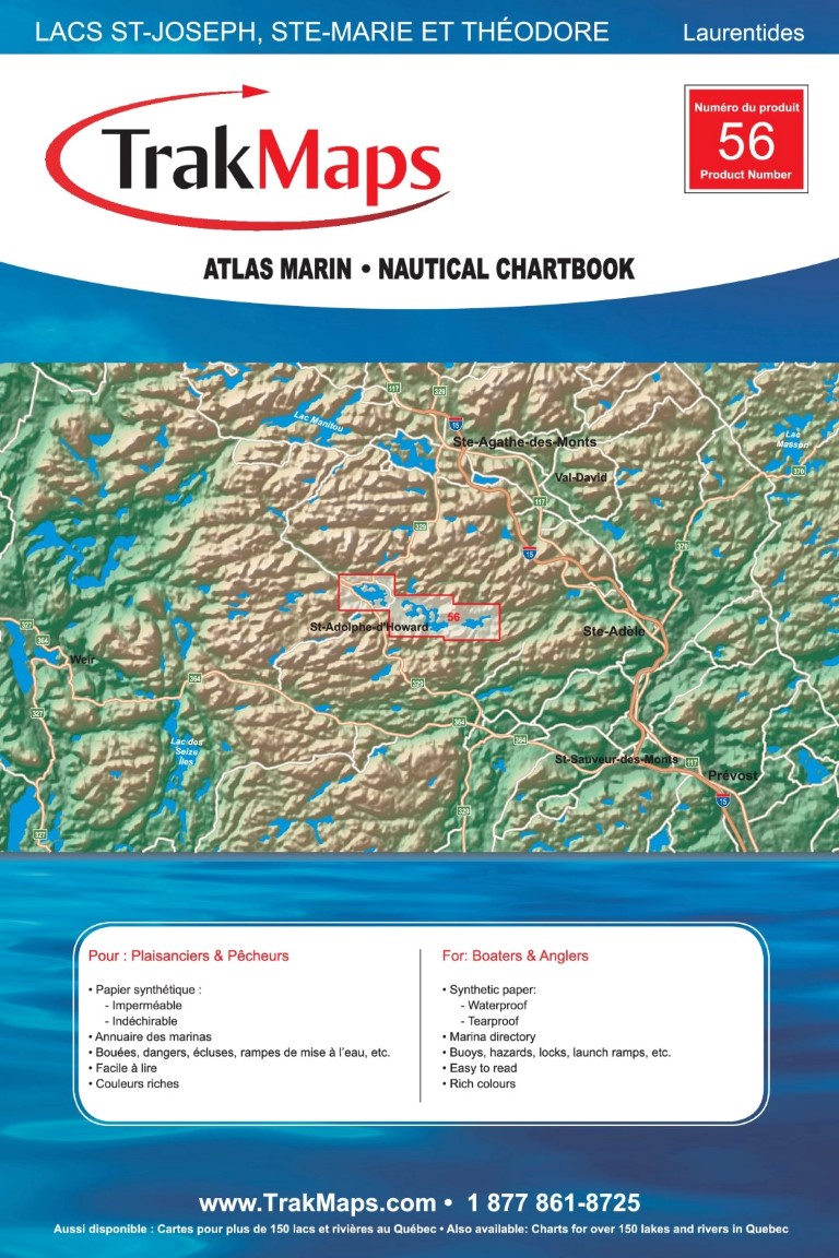
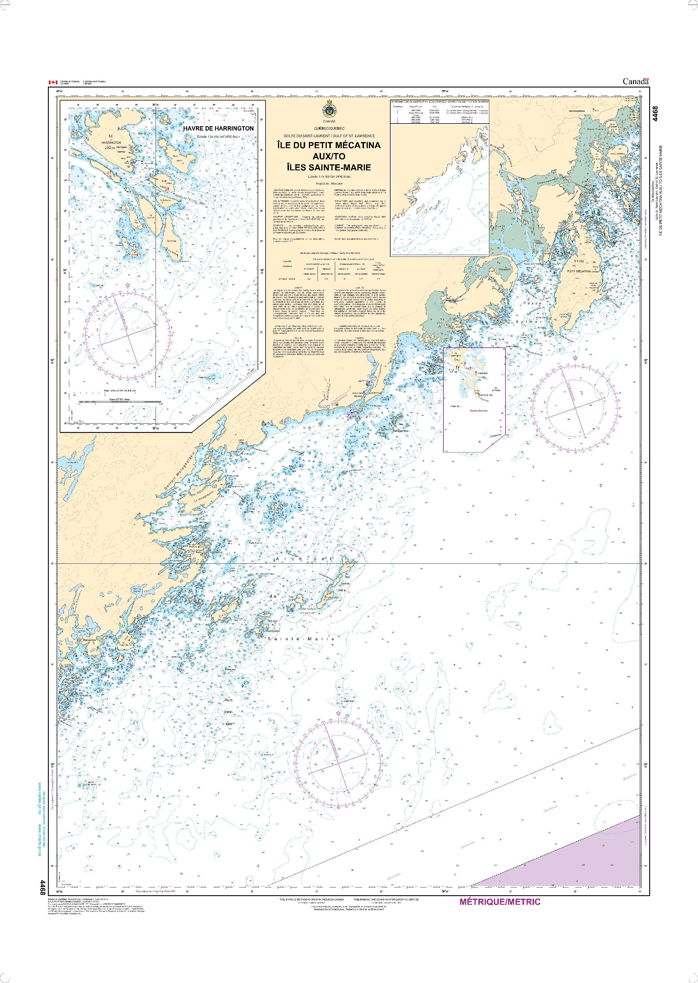
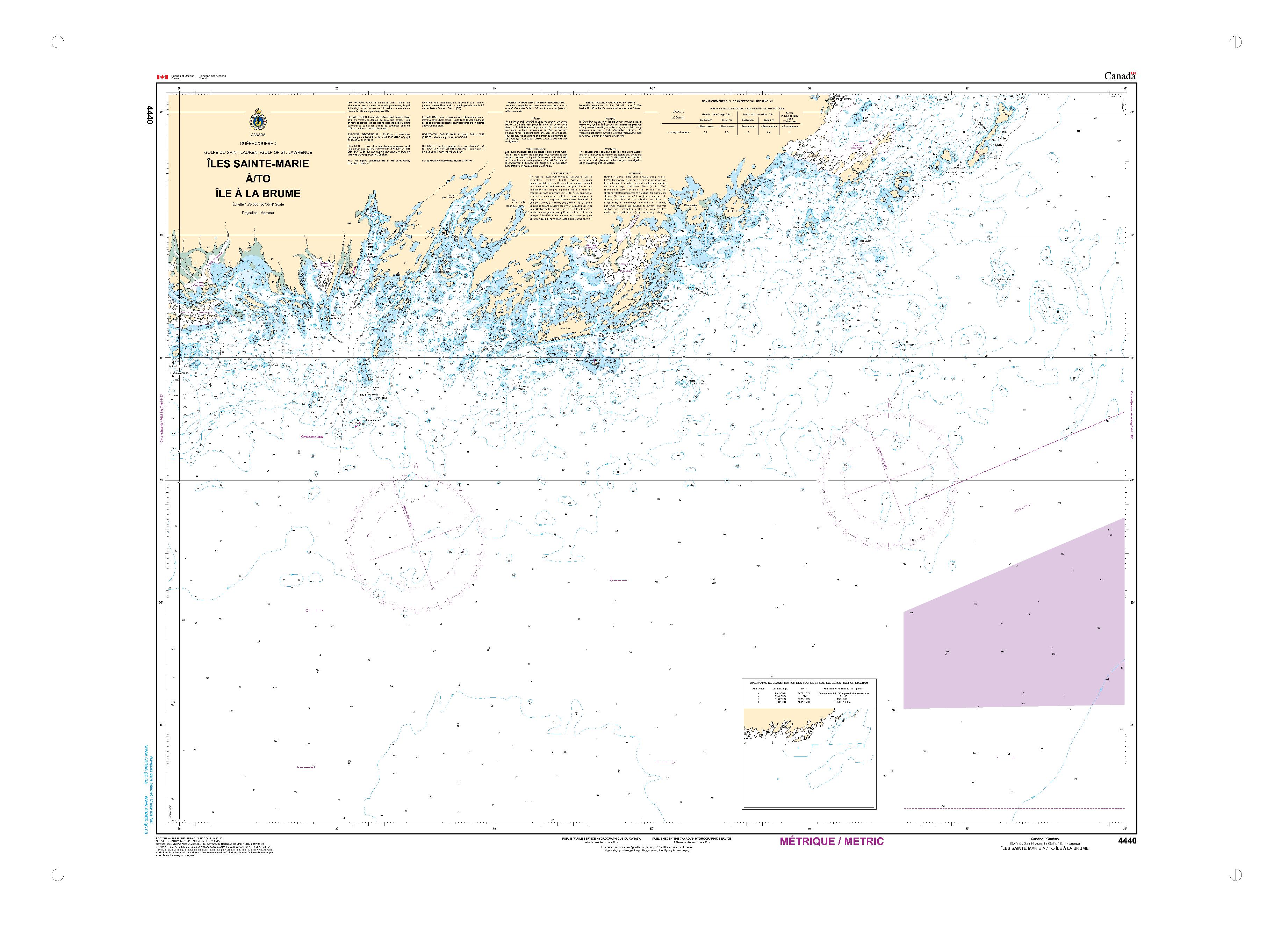
Ce sont des exemples provenant de cartes similaires et non de cette carte en particulier.
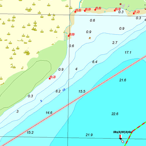
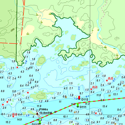
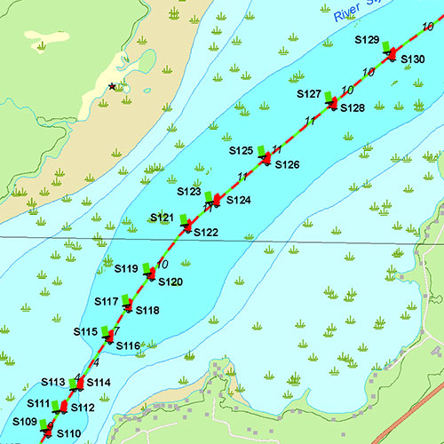
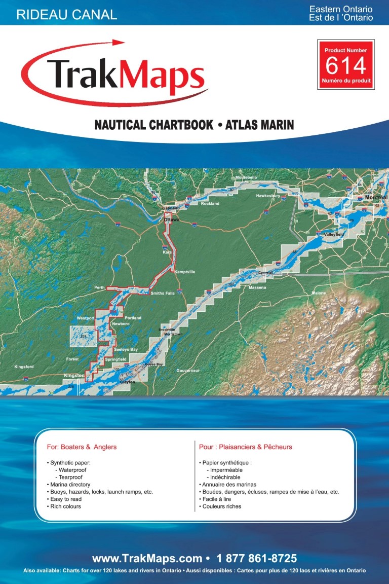
Couverture
Trouvez d'autres atlas marins
| # | Produit | Format | Région | Prix |
|---|
Couverture de presse
Témoignages


Nos partenaires
Nous travaillons avec une grande variété d'associations, de fédérations, de ministères et d'entreprises pour vous offrir les meilleurs produits sur le marché.