
Sachez où vous êtes !
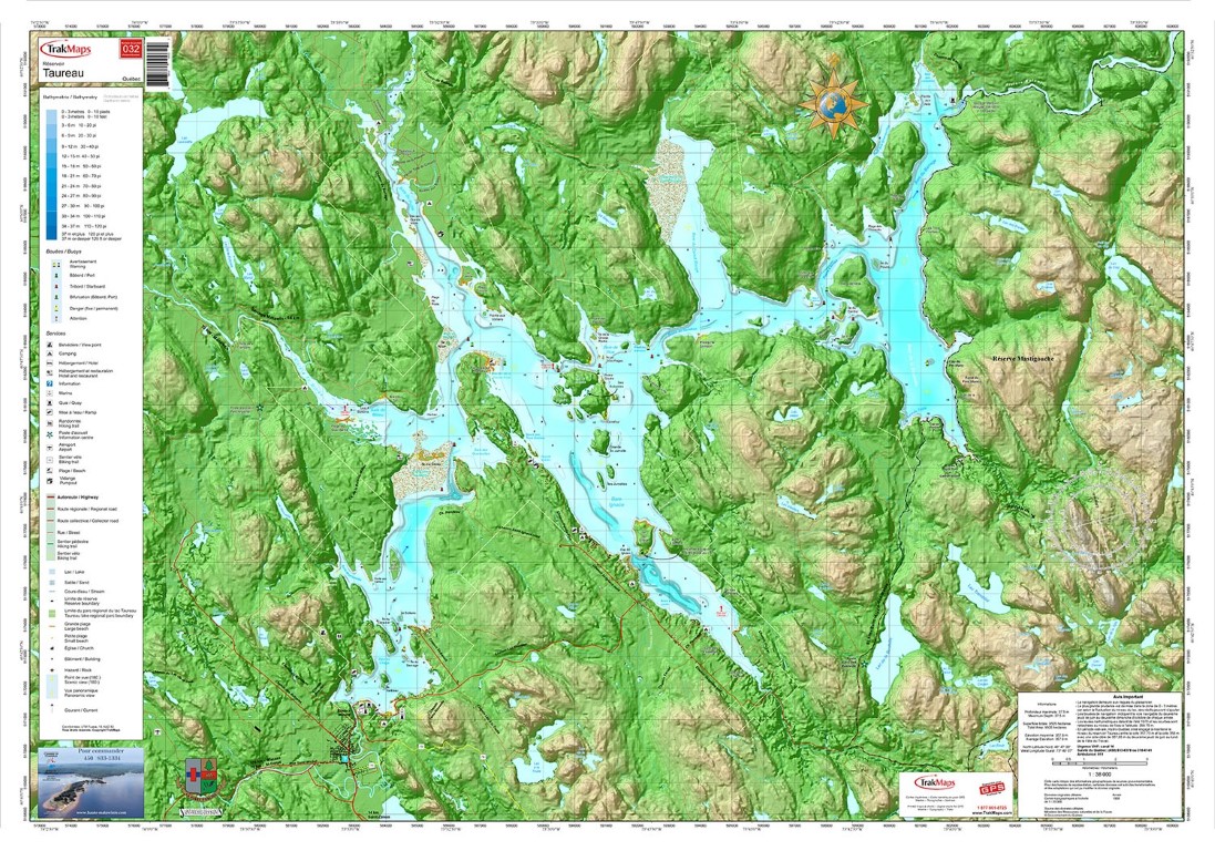
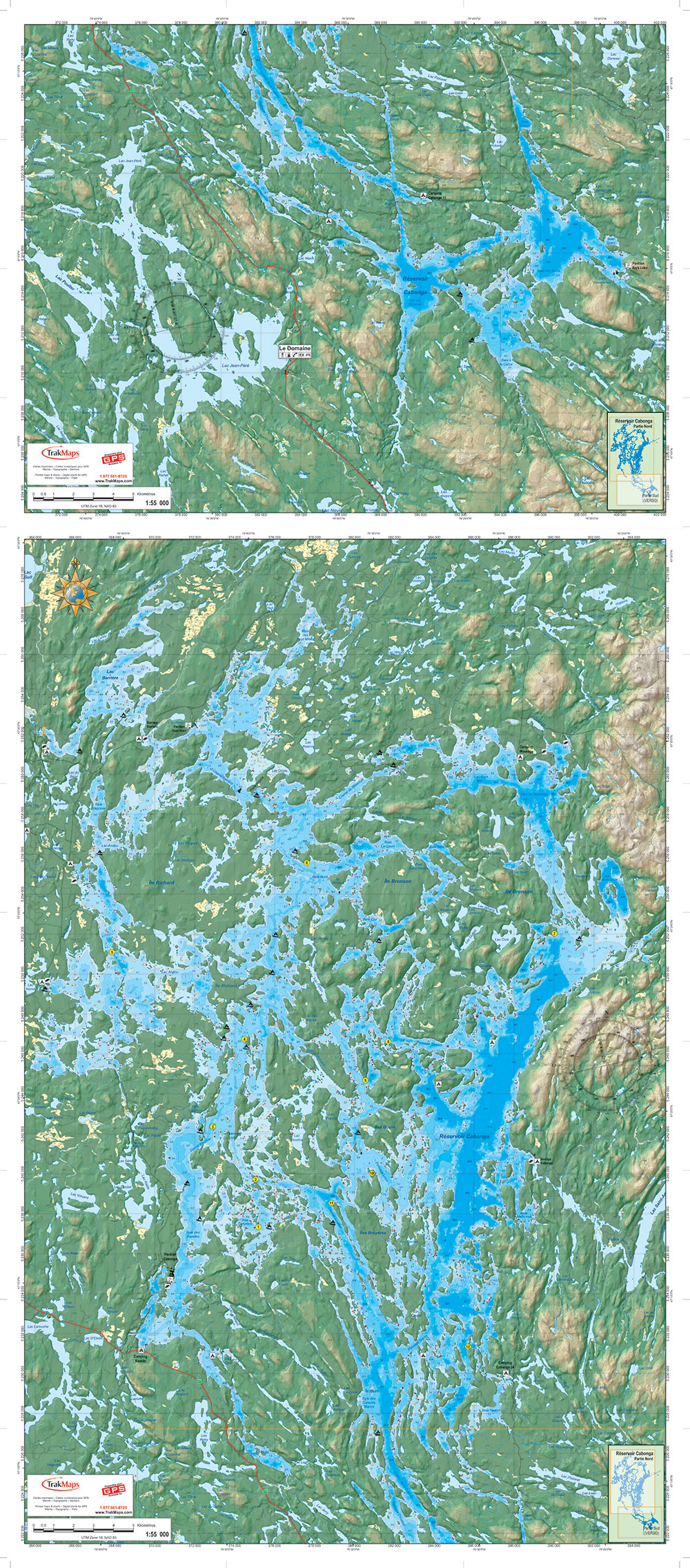
Aperçu en basse résolution, cliquez pour agrandir. Le produit imprimé est net et entièrement détaillé.
Lac Taureau (pliée)
22,99 $
CAD pour les clients canadiens, USD pour tous les autres pays.
Achats en grande quantité? Contactez-nous pour une soumission
Livraison gratuite au Canada et aux États-Unis sur les commandes de 59 $+.
- Expédiée le prochain jour ouvrable. Livraison en 1 à 3 jours ouvrables vers plusieurs destinations.
- Imprimée sur papier synthétique imperméable et résistant aux déchirures
- Imprimée sur demande (non retournable)
- Vous souhaitez obtenir une licence pour ces données à des fins commerciales?
Spécifications
| Produit # | 32 |
| Format | Carte individuelle |
| Présentation | Pliée |
| Légende | |
| Finition | Synthétique |
| Région | Lanaudière |
| Dimensions | 28" x 40" |
| Pages | 1 |
| Échelle | 1/42 000 |
| UPC | 838510000322 |
| Les dimensions peuvent varier légèrement, puisque l’espace blanc excédentaire peut être rogné à notre discrétion. Contactez-nous pour connaître les dimensions exactes. | |
Caractéristiques
- Bathymétrie
- Aides à la navigation
- Entraves à la navigation
- Routes principales
- Marinas
- Rampes de mise à l'eau
- Terrains de camping
- Activités de plein air
- Topographie en 3D
- Papier imperméable et indéchirable
Description
Carte individuelle de Lac Taureau (pliée) : Lanaudière (Québec). Imprimée sur papier imperméable à une échelle de 1/42 000. Conçue pour la pêche, la plaisance et la pêche blanche.
À quoi ressemble la carte
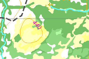
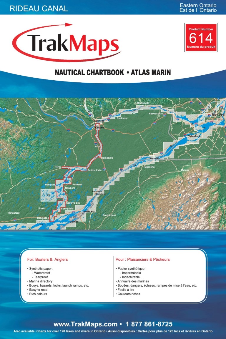
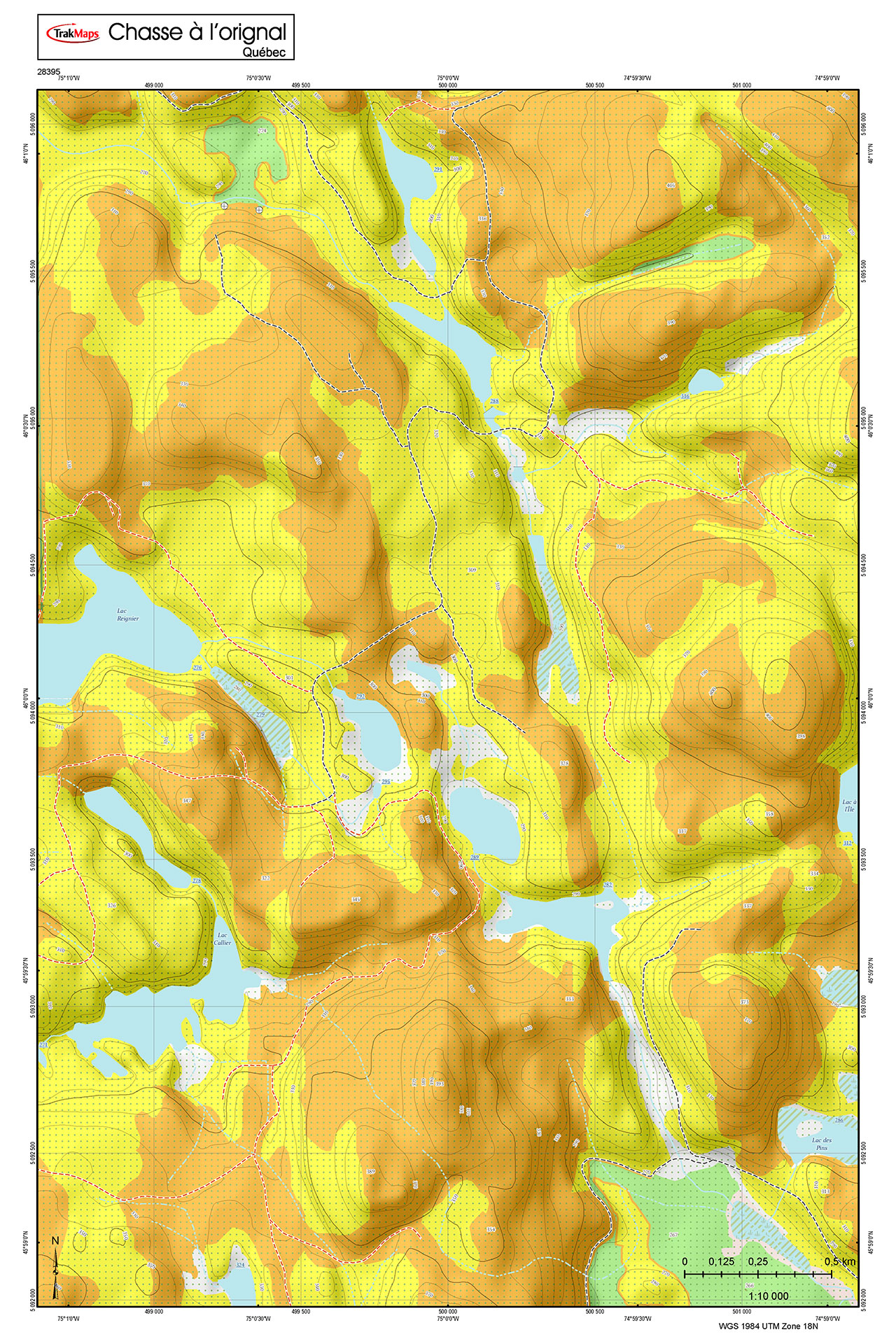
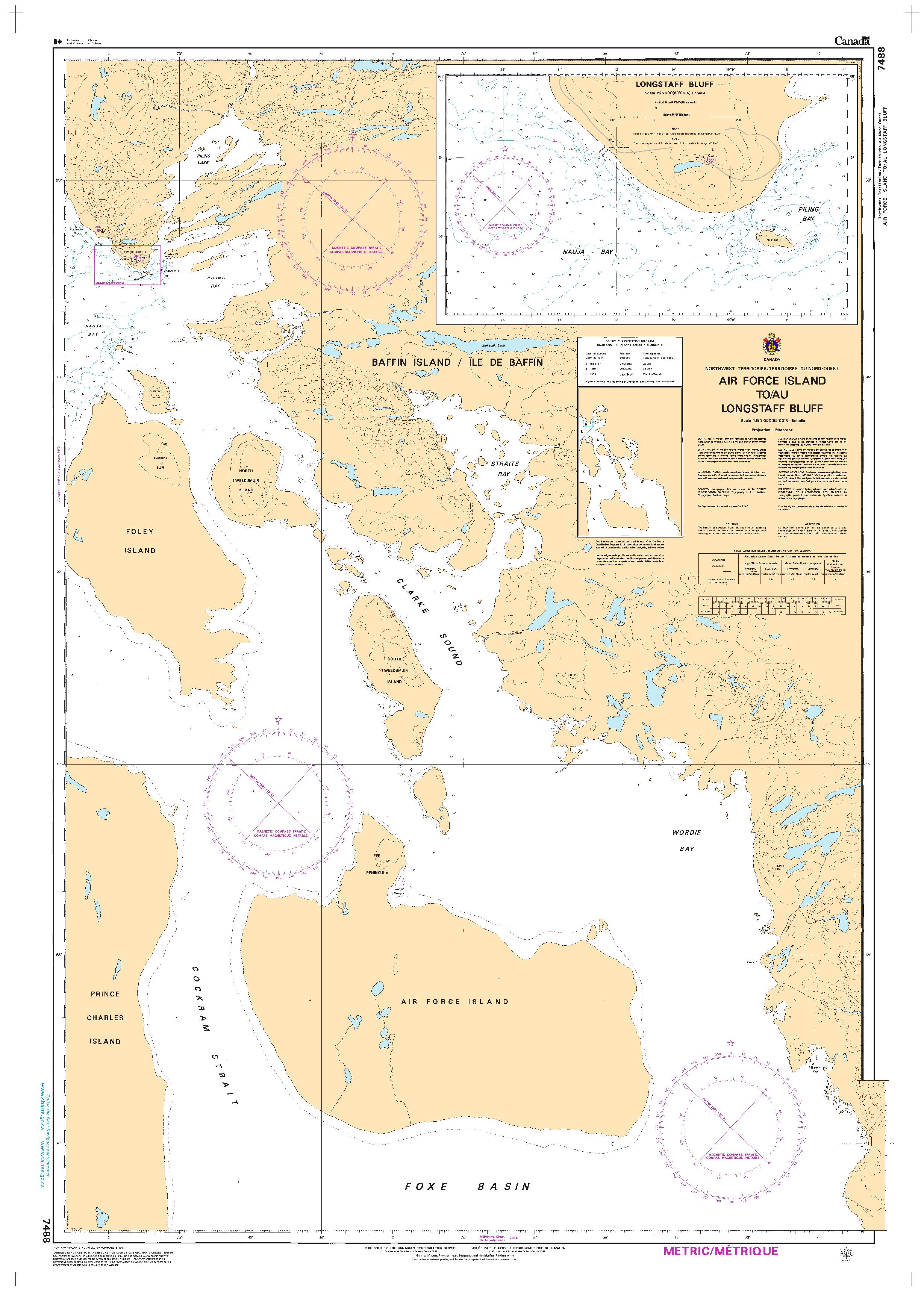
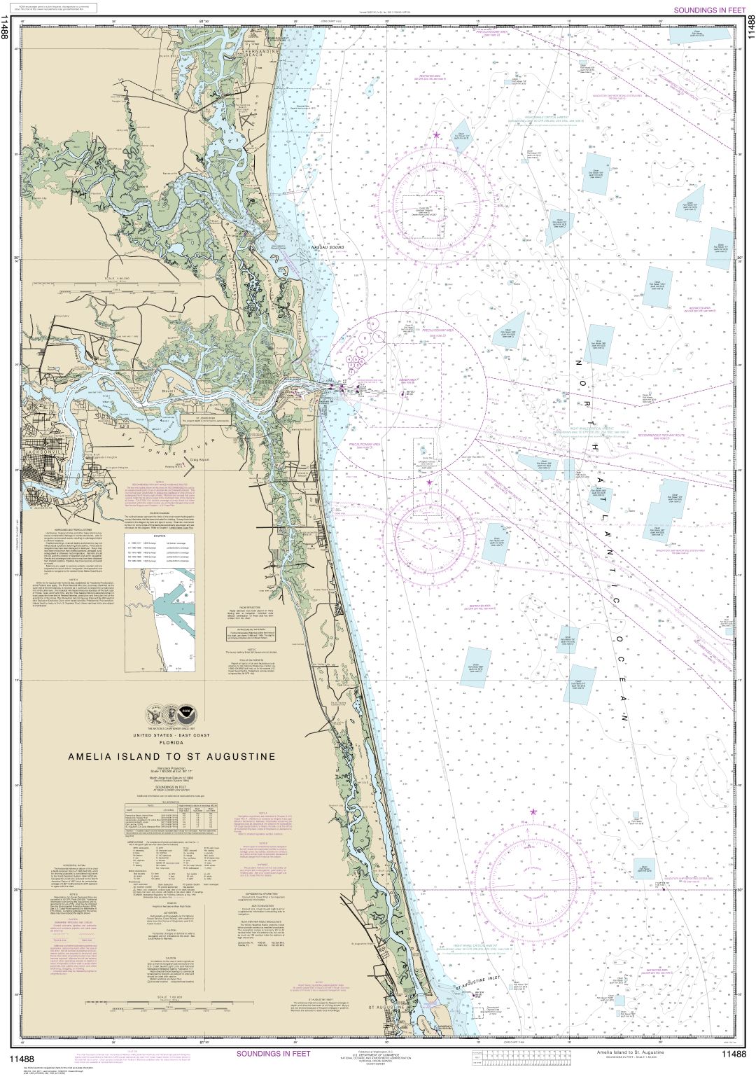
Ce sont des exemples provenant de cartes similaires et non de cette carte en particulier.
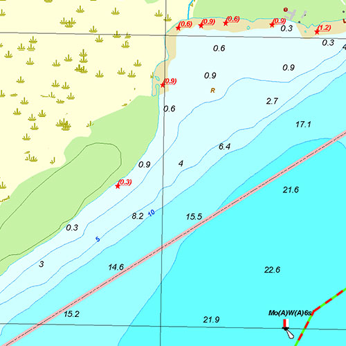
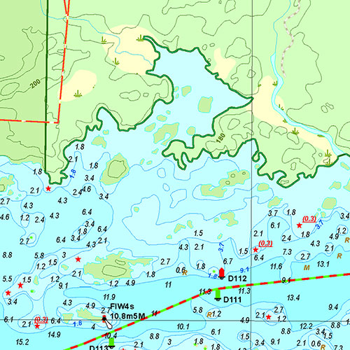
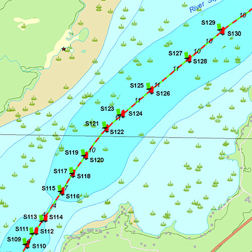
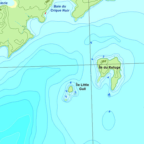
Couverture
Vous ne savez pas quelles cartes commander? Planifiez un voyage et nous vous dirons lesquelles il vous faut.
Le contour rouge indique l'étendue couverte, pas le contenu du produit.
Trouvez d'autres cartes
| # | Produit | Format | Région | Prix |
|---|
Couverture de presse
Vous pourriez aussi avoir besoin de
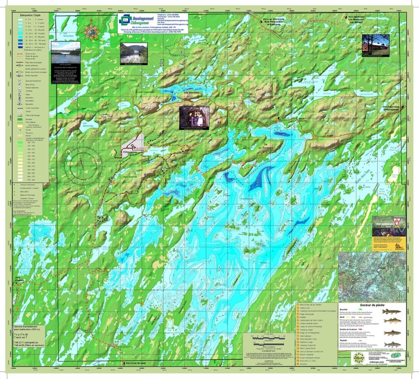
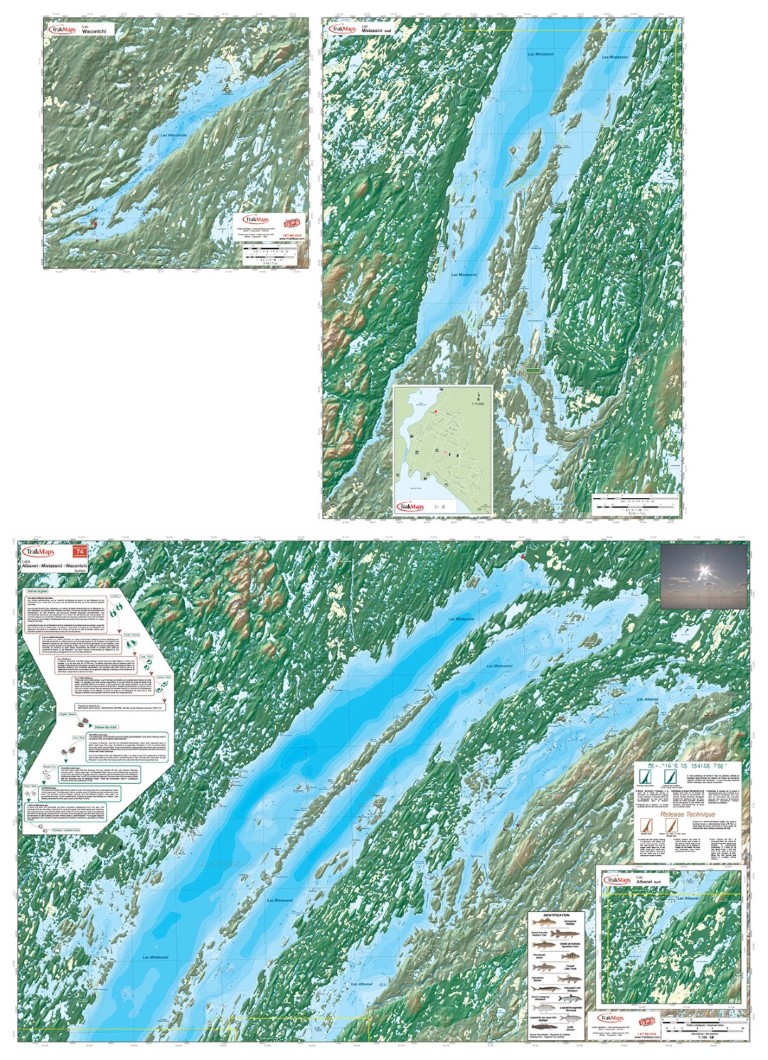
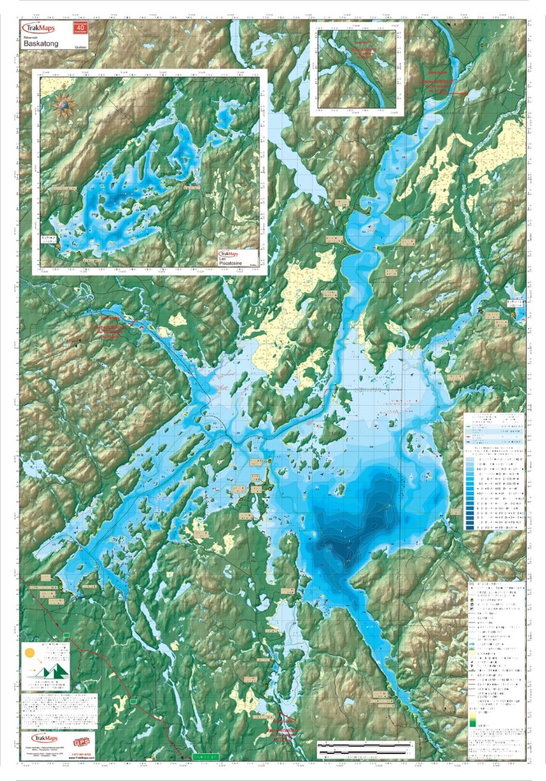
Témoignages


Nos partenaires
Nous travaillons avec une grande variété d'associations, de fédérations, de ministères et d'entreprises pour vous offrir les meilleurs produits sur le marché.