Sachez où vous êtes !
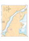
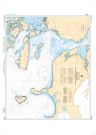
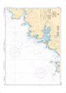
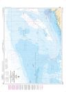
LaHave River - Conquerall Bank to Bridgewater | Carte SHC 4391
Peut prendre jusqu'à 3 jours ouvrables pour expédier
COMMANDEZ-LA AUJOURD'HUI
$25.00
Spécifications
| Format | Carte du SHC |
| Présentation | Plat |
| Légendes | |
| Finition | Régulier |
| Région | Atlantique |
| Dimensions | 46" x 30" |
| Pages | 1 |
| Échelle | 1/6,000 |
| Veuillez noter que les dimensions de cartes sont parfois arrondies. Pour obtenir les dimensions précises, veuillez nous joindre. | |
Caractéristiques
- Bathymétrie
- Aides à la navigation
- Entraves à la navigation
Description
LaHave River - Conquerall Bank to Bridgewater | Carte SHC 4391. Impression sur papier régulier. Idéale pour plaisance et pêche.
Carte officielle récente
Cette carte inclut les avis aux navigateurs les plus récents, est considérée comme une carte marine officielle et conforme aux dispositions du Règlement sur les cartes marines et les publications nautiques.
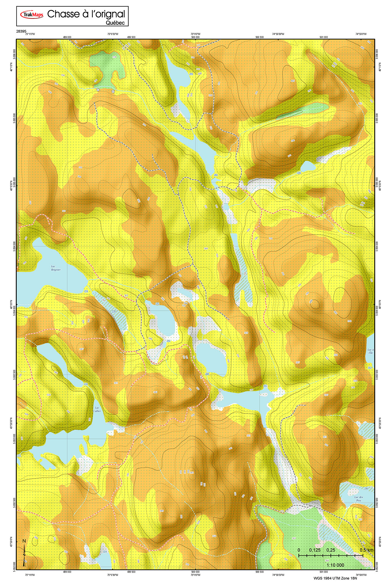
Couverture
Pas certain quelles cartes vous devez commander? Planifiez un voyage et nous vous indiquerons celles dont vous aurez besoin.
Le rectangle rouge dans la carte ci-dessus sert uniquement à indiquer l'étendue du produit. Il ne représente pas le contenu du produit.
Trouvez d'autres cartes du SHC
Veuillez choisir le/les type(s) de cartes à afficher dans le coin supérieur droit de la carte.
Je m'en vais à
| Carte | Région | Prix |
|---|
Autres produits imprimés
Témoignages


Nos partenaires
Nous travaillons avec une grande variété d'associations, de fédérations, de ministères et d'entreprises pour vous offrir les meilleurs produits sur le marché.