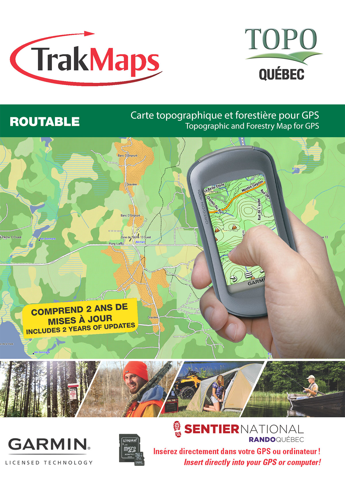
Sachez où vous êtes !
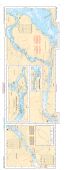
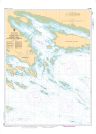
Rivière des Prairies
Expédition AUJOURD'HUI ou prochain jour ouvrable avec livraison 1-3 jours ouvrables plus tard pour plusieurs endroits
Imprimé sur papier synthétique IMPERMÉABLE ET RÉSISTANT AUX DÉCHIRURES
COMMANDEZ-LA AUJOURD'HUI
Spécifications
| Produit # | 65 |
| Format | Atlas marin |
| Présentation | Reliure spirale |
| Légendes | |
| Finition | Synthétique |
| Région | Fleuve Saint-Laurent |
| Dimensions | 12" x 18" |
| Pages | 10 |
| Échelle | 1/20 000 |
| UPC | 838510000650 |
Caractéristiques
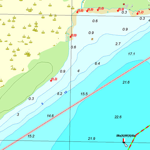
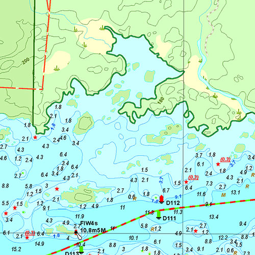
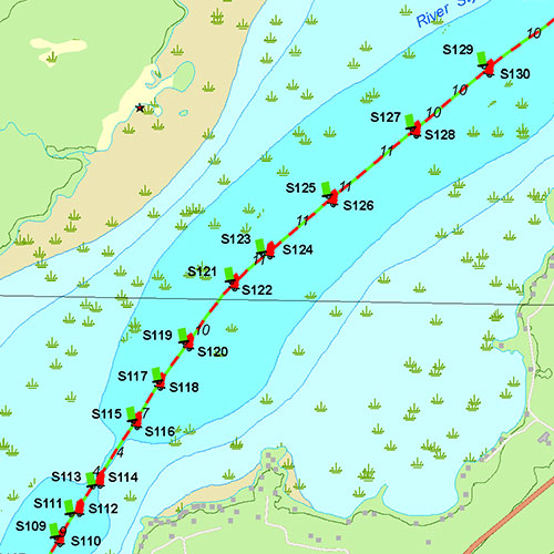
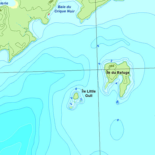
- Bathymétrie
- Aides à la navigation
- Entraves à la navigation
- Routes principales
- Marinas
- Rampes de mise à l'eau
- Aires de pique-nique
- Activités de plein air
- Imprimé sur papier synthétique imperméable et indéchirable
Description
Atlas marin de Rivière des Prairies : Fleuve Saint-Laurent (Québec). Impression sur papier imperméable et indéchirable à une échelle de 1/20 000. Idéale pour pêche, plaisance et pêche blanche.
Couverture
Pas certain quelles cartes vous devez commander? Planifiez un voyage et nous vous indiquerons celles dont vous aurez besoin.
Le rectangle rouge dans la carte ci-dessus sert uniquement à indiquer l'étendue du produit. Il ne représente pas le contenu du produit.
Trouver d'autres atlas marins
Je m'en vais à
| # | Produit | Format | Région | Prix |
|---|
Couverture de presse
Témoignages


Nos partenaires
Nous travaillons avec une grande variété d'associations, de fédérations, de ministères et d'entreprises pour vous offrir les meilleurs produits sur le marché.