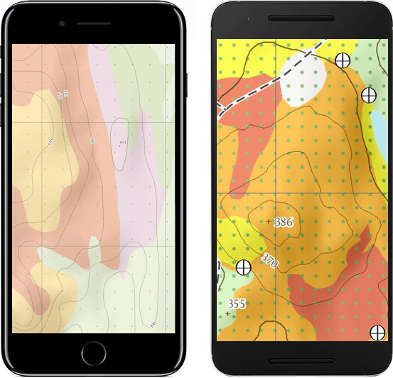
Description
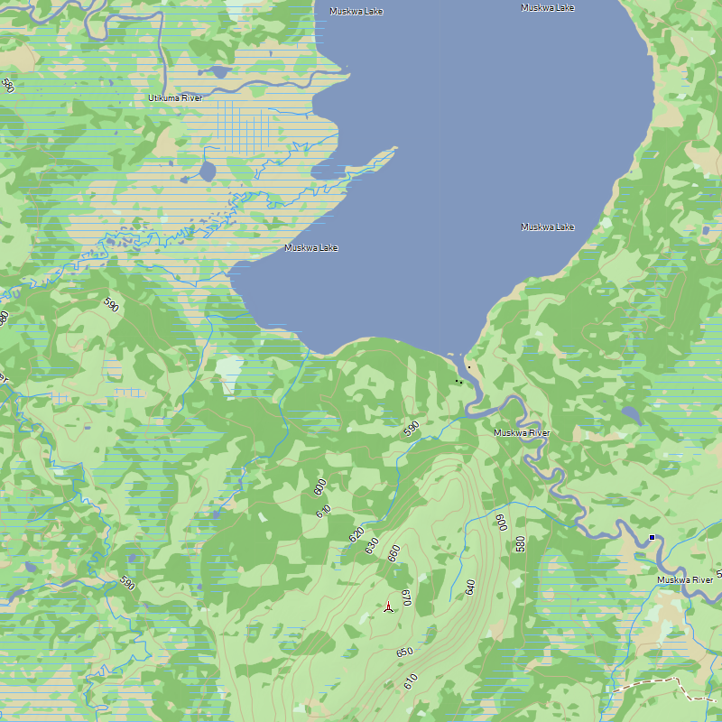
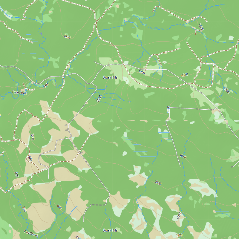
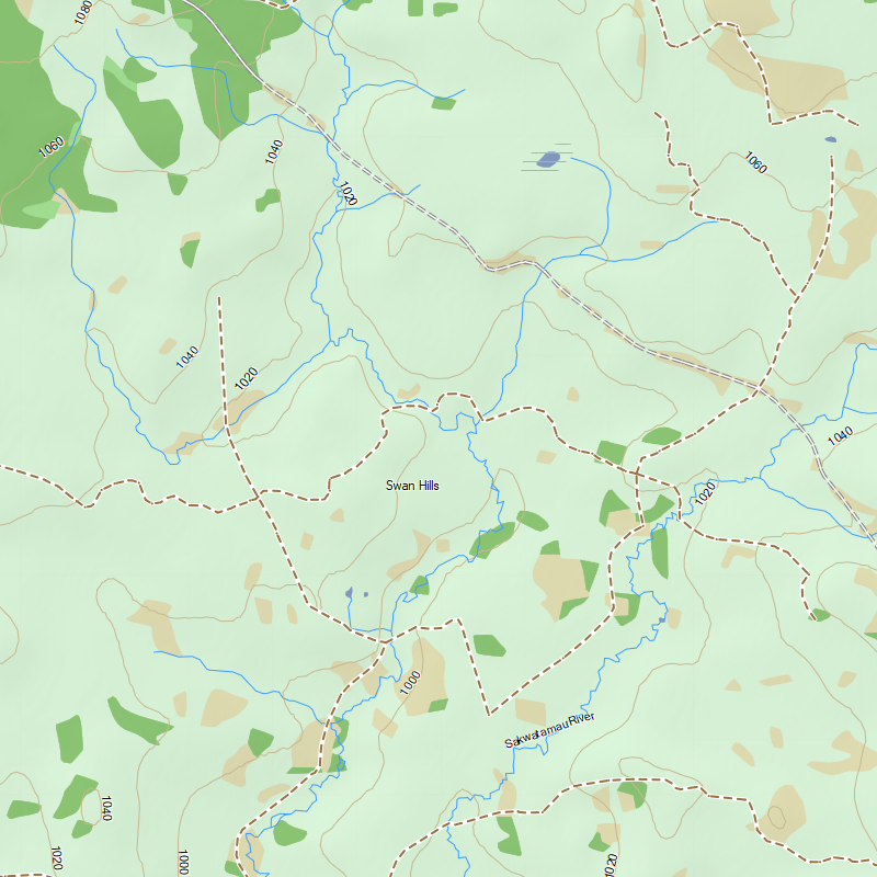
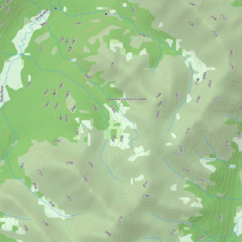
TOPO Alberta provides you with detailed topographic maps including numerous trails, forest and wilderness areas, water bodies, provincial, regional parks and zecs, power lines and railroad tracks as well as major and secondary roads.
Perfect for hiking, hunting, geocaching, canoeing, kayaking and plenty more!
Last Update: 2022-12-12 View Changelog
Scale: Best available throughout the province, up to 1:10,000
Size of Product: 1.3 GB+
Sources: Natural Resources Canada, Parks Canada, TrakMaps
The TrakMaps Advantage
2 Years of Included Updates
Get the latest updates of your map with TrakUpdate.
Save Big
Save 50% when renewing for an additional 2 years.
2 Years of Included Support
First class Canadian-based support by live chat & email.
Easy to Use
Easy to install & update, so you can get back to enjoying the outdoors.
View It on Your Computer
View your map in Garmin BaseCamp for Windows or Mac.
Always Available
Load your map anywhere, even where there is no cellphone reception.
Real Time Location
Your map will show your location in real time so you don't get lost.
Points of Interest
Thousands of points of interest to help you find your way.
Waypoints, Routes & More
Compatible with your waypoints, routes & tracks from your trips.
Easily Switch GPS Units
Move your card from one compatible GPS unit to another. Not applicable to downloads.
Compatibility Guaranteed
We test our maps with most GPS units on the market.
Own a Competing Product?
Get a discount for switching to TrakMaps. Certain restrictions apply.
Legend
 Clothing Retail
 Golf Course
 Woods
Woods
 Gas Station
 Museum
 Historical Town
 Picnic Area
 Bar
Bar
 Bank
Bank
 City Lt5K
 Lake
Lake
 Trail
Trail
 Hotel
Hotel
 Hospital
 Waterfall
 Large City
 Bridge
 Grocery Store
 Rapids
 Theme Park
 Campground
 Shopping Center
 Restaurant
 Auto Club
 Stream
 Airport
 Tunnel
 Border Crossing
 Casino
 Movie Theater
 Pharmacy
 Summit
 Information
 Scenic Area
 Tower
Tower
 Locale
 General Store
 Dam
Dam
 Bridge
 Other Hwy
 Minor Contour
 Railroad
 Int Contour
 Stream
 Ramp
Ramp
 Residential
 Collector
 Arterial
 Ferry
Ferry
 Pipeline
 Marine Hazard
 Trail
Trail
 Unpaved Road
 Powerline
 Bridge
 Lake 100Mi
 Golf Course
 Airport
 Land Urban
 Military Base
 Land
Land
 Hospital
 Wetland
 Generic Manmade
 Woods
Woods
 Large River
 Reservation
 Large City
 Industrial Complex
 Fish And Wildlife
 Land Non Urban
 Lake
Lake
Custom Mobile & Printed Maps
Choose your area and get your map on your iOS or Android device.
Testimonials
As Featured In
Updates to your map for Garmin
Use TrakUpdate to get the latest updates to your map.
Just sit back and relax as we update it!


Our Partners
We work with a wide variety of associations, federations, government ministries and corporations to bring you the best products on the market.


