What's included
- Coverage of 400+ lakes & rivers
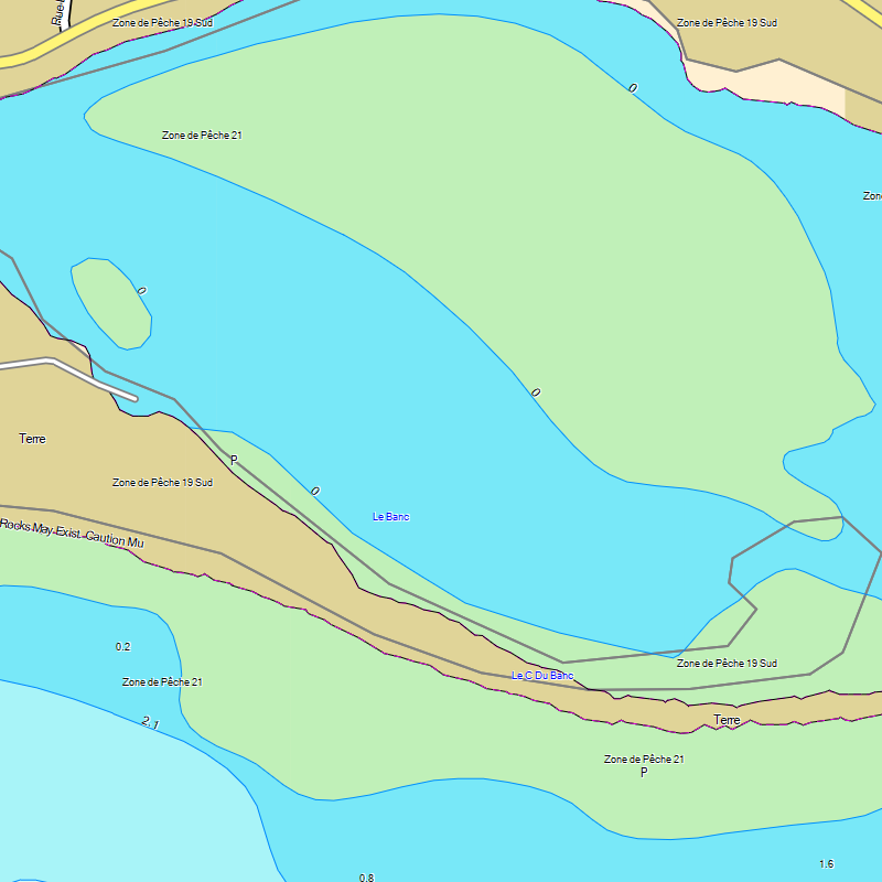
- Detailed bathymetric depths and contours
- Structure, bottom composition, vegetation
- Aids to navigation, hazards, obstacles
- Marinas, launch ramps, fuel docks
- Fishing zones and fishing spots
- Detailed shorelines
- Cellular towers
- Depths shown in metres or feet
Description
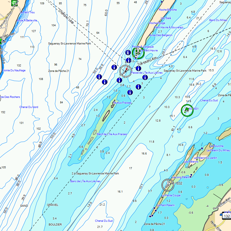
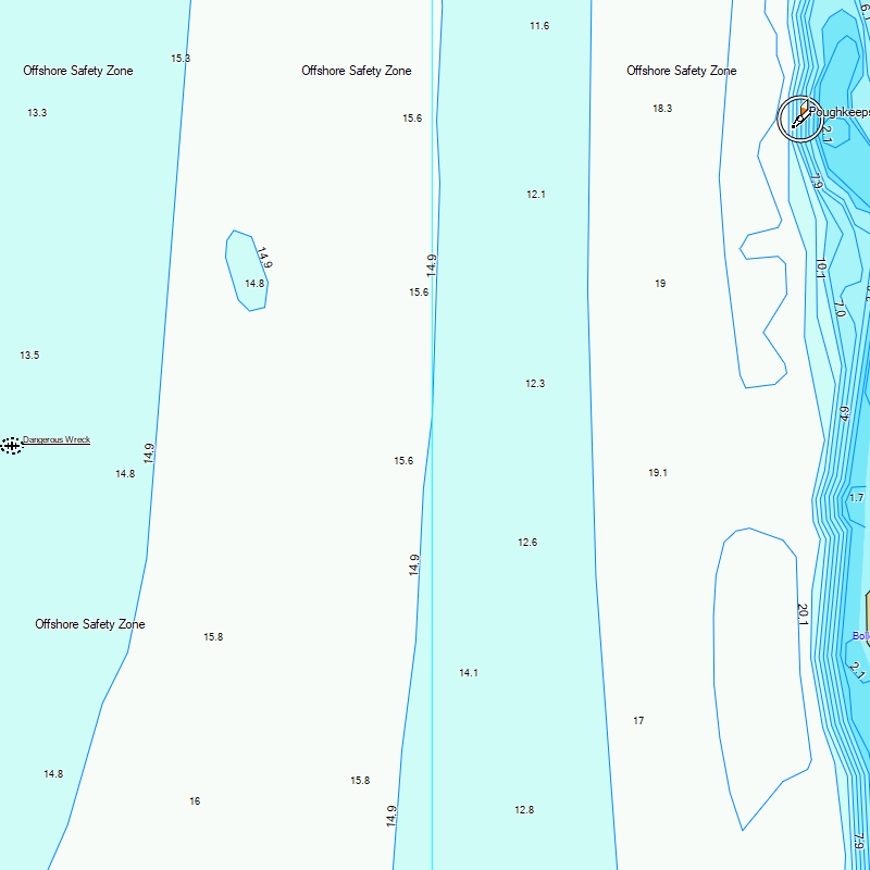
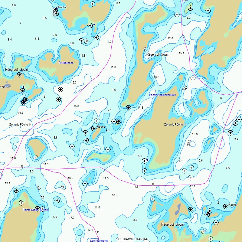
Whether it's boating, fishing or ice fishing, Marine Quebec for Garmin GPS provides you with the most up-to-date depths and information of your lakes, waterways and rivers in Quebec.
Navigate safely on the water with depths, contours, points of interest and much more!
- Last update
- 2026-09-16 · View changelog
- Scale
- Varied
- Size
- 160 MB+
- Requirements
- Compatible Garmin GPS unit · Garmin BaseCamp for Windows 10 or macOS (or more recent) to view on a computer
- Sources
- Canadian Hydrographic Service, Quebec Ministry of Energy and Natural Resources, TrakMaps
Coverage
Missing Your Body of Water?
Included Bodies of Water
| Body of Water | Region |
|---|
Screenshots
Why TrakMaps
Your map shows where you are so you don't get lost.
Get the latest trails with TrakUpdate. Renew at 50% off.
First-class support by live chat and email, in English and French.
Plan trips in Garmin BaseCamp for Windows or Mac.
Everything is on the GPS unit — no data plan needed.
Get a discount for switching to TrakMaps. Certain restrictions apply. Contact us to find out more
Legend
Map symbols and trail types
 Clothing Retail
 Golf Course
 Beach
Beach
 Buoy Mooring
 Buoy Special Purpose Beacon
 Iso Dgr Surface Rock
 Diving Area
 Iso Dgr Covered Obstruction
 Transit Services
 Gas Station
 Ski Center
 Museum
 Utility
 Picnic Area
 Bar
Bar
 Bank
Bank
 Buoy Starboard Hand
 First Aid
 Lake
Lake
 Trail
Trail
 Pile
Pile
 Mile Marker
 Hotel
Hotel
 Spring
 Waterfall
 Buoy East Cardinal
 Boat Ramp
 Controlled Area
 Large City
 Ice Skating
 Bridge
 Light Undefined
 Basin
Basin
 Grocery Store
 Rapids
 Theme Park
 Buoy Safe Water
 Parking
 Buoy Starboard Hand Beacon
 Campground
 Buoy Port Hand
 Daymark Green Square
 School
 Anchorage Berths
 Light North Mark
 Shopping Center
 Restaurant
 Library
 Landmark
 Light West Mark
 Auto Club
 Light South Mark
 Stream
 Airport
 Buoy Port Hand Beacon
 Slope
Slope
 Tunnel
 Light Starboard Hand Mark
 Casino
 Movie Theater
 Iso Dgr Wreck
 Rock
Rock
 Light Isolated Danger
 Buoy West Cardinal
 Buoy Special Purpose
 Pharmacy
 Light Special Mark
 Services Business
 Sand Bar
 Fishing Spot
 Iso Dgr Obstruction
 Harbor
 Pillar
 Light East Mark
 Information
 Swimming Area
 Light Port Hand Mark
 Buoy North Cardinal
 Scenic Area
 Crossing
 Marine Location Text
 City 500K
 Buoy South Cardinal
 Iso Dgr Underwater Rock
 Communication Services
 Iso Dgr Dangerous Rock
 Tower
Tower
 Fire Dept
 Locale
 Marina
 General Store
 Dam
Dam
 Building
 Int Bathy Contour
 Bridge
 Roundabout
 Anchorage
 Alley
Alley
 Railroad
 Restr Prohibited
 Stream
 Principal Hwy
 Ramp
Ramp
 Residential
 Low Speed Ramp
 Collector
 Arterial
 Shoreline
 Isobath Depth 1
 Isobath Depth 2
 Isobath Depth 3
 Isobath Depth 4
 Isobath Depth 5
 Major Hwy
 Overhead Cable
 Isobath Intertidal Zone
 Ferry
Ferry
 Restr Restricted
 Pipeline
 Marine Misc Line
 Trail
Trail
 Unpaved Road
 Obstr Danger
 Bridge
 Lake 100Mi
 Anchorage
 Golf Course
 Tundra
 Airport
 Land Urban
 Urban Park
 Marina
 Restr Prohibited
 Land
Land
 Sports Complex
 Wetland
 Generic Manmade
 Isobath Depth 2
 River Lt 100Ft
 Isobath Depth 1
 Isobath Depth 3
 Isobath Depth 4
 Isobath Depth 5
 Restr Restricted
 Isobath Intertidal Zone
 Large City
 National Park
 Small Lake
 State Park
 Lake
Lake
 Obstr Danger
 Marine Misc Area
Custom mobile & printed charts
Choose your area and get your chart on your phone with the Avenza Maps app, or printed.
Mobile maps for Avenza Printed maps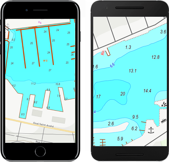
Testimonials
Updates to your map for Garmin
Use TrakUpdate to get the latest updates to your map.
Just sit back and relax as we update it!

Our Partners
We work with a wide variety of associations, federations, government ministries and corporations to bring you the best products on the market.